The sunshine is returning for our Tuesday
SUMMARY: High pressure will allow the sunshine and some warmer winter temperatures to return to the region for our Tuesday and Wednesday. More rain though is likely late Thursday into Friday and maybe Saturday as our next cold front pushes through. We will continue to monitor the potential for a big blast of Arctic air by Sunday and next Monday.
TUESDAY: The sunshine has returned. Some of you may see a few of those wispy cirrus clouds, but other than that all will be quiet for us the next two days. Highs will be in the upper 40s. A bit breezy with a NW wind at 10-15 mph.
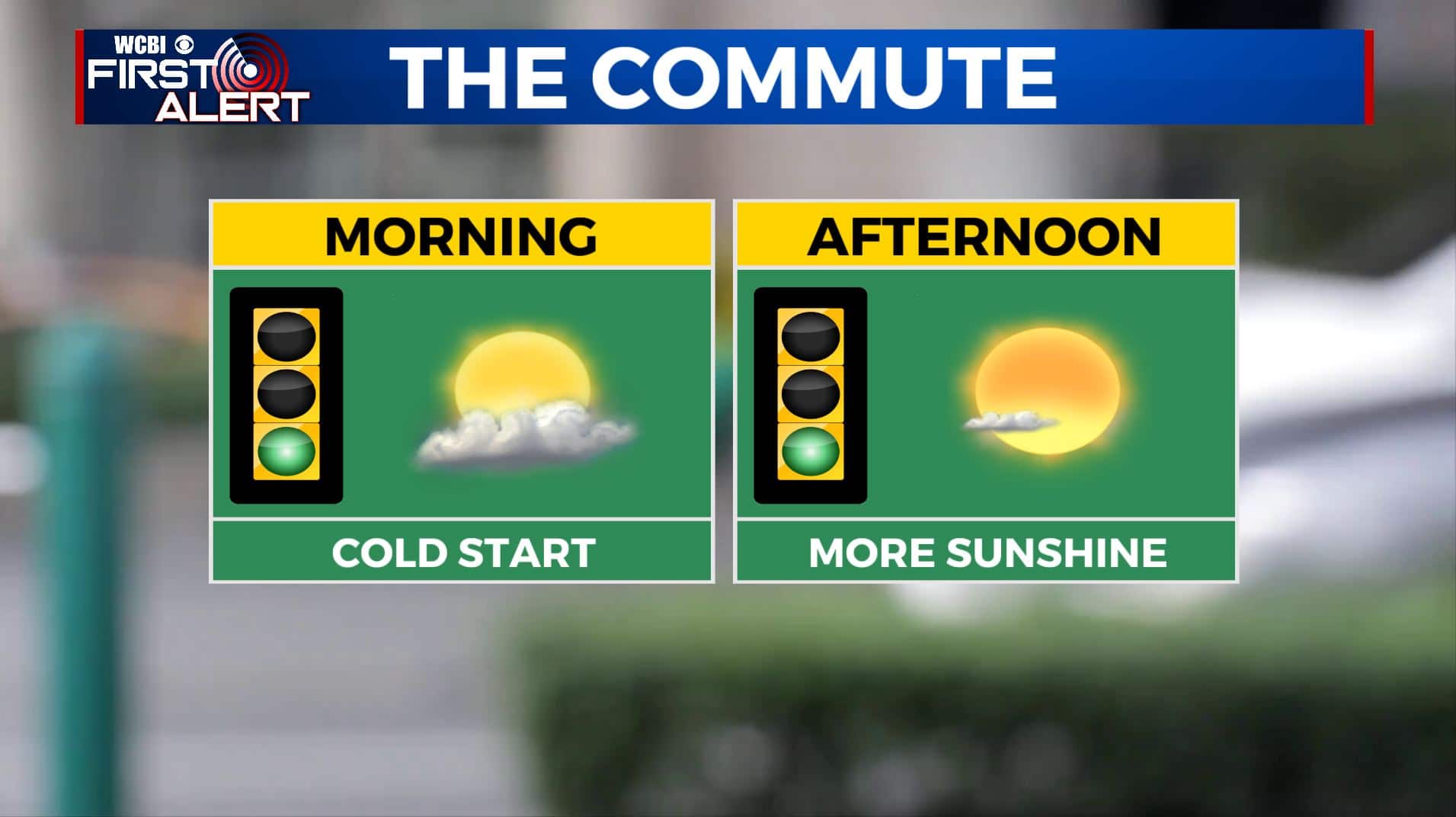
TUESDAY NIGHT: Mostly clear skies and cold. Lows in the upper 20s.
WEDNESDAY: Mostly sunny skies. Highs in the mid 50s.
WEDNESDAY NIGHT: A few clouds. Lows in the mid 30s.
THURSDAY: Mostly cloudy, breezy, and milder. Highs in the low 60s. Some late afternoon and evening rain is possible.
THURSDAY NIGHT: Cloudy with areas of rain. Lows in the upper 40s.

FRIDAY: Mostly cloudy with areas of rain. Highs near 50. No severe weather is expected.
SATURDAY: Mostly cloudy with some chances of rain early in the day. Highs in the low 50s.
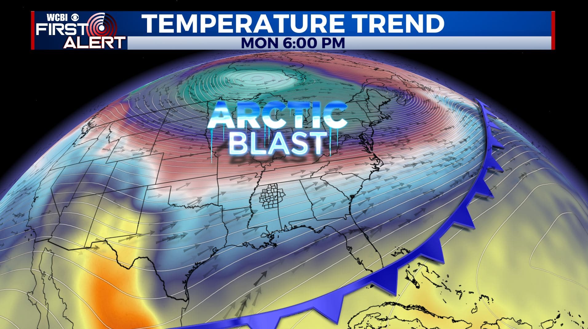
SUNDAY: Another blast of cold air will arrive by Sunday and could last into early next week. High temperatures will likely be in the 30s on Sunday. Stay tuned!
Stay connected with @WCBIWEATHER on Facebook, Twitter, Instagram, and the WCBI News App


Leave a Reply