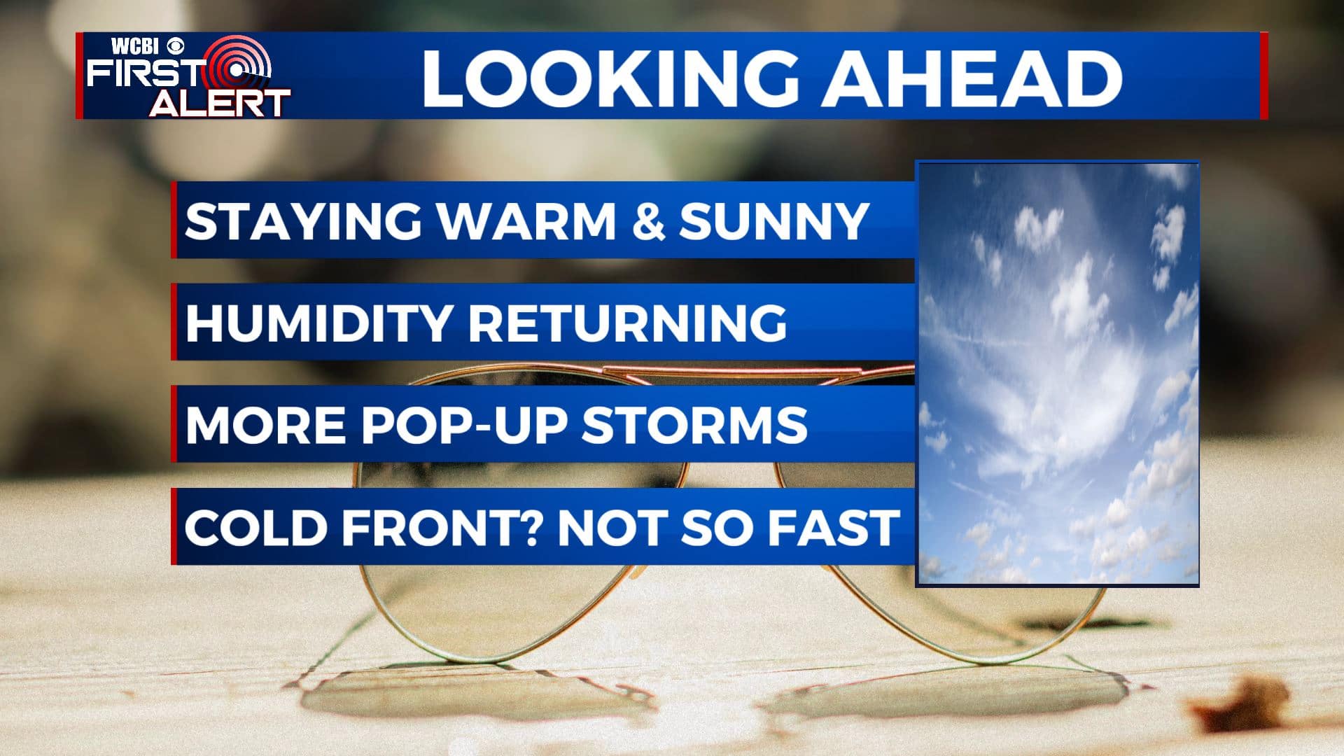
The humidity and summertime returns for the short workweek
SUMMARY: Mostly sunny skies for your Tuesday. We’ll stay warm also humid as we head into this short workweek. Highs will remain in the upper 80s to lower 90s with chances for pop-up showers and storms returning late week. Still watching and waiting to see what a cold front will do for the weekend so stay tuned!
TUESDAY: Tuesday is shaping up to be mostly sunny and warm as we head back to work & school. Temperatures will top out in the upper 80s to lower 90s. With the added humidity, the heat index could be as high as 95 at times. SE winds 5-10 mph.
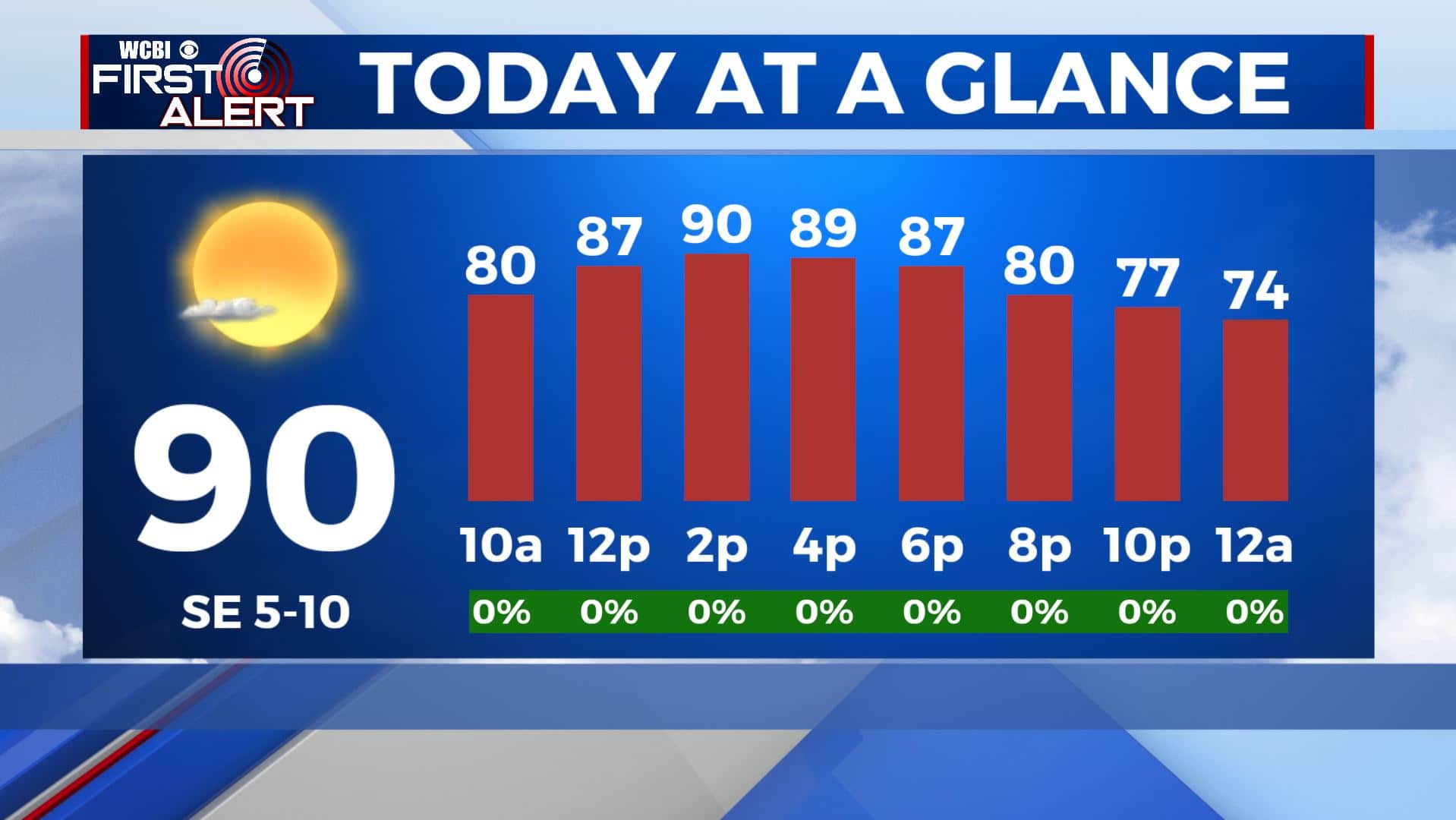
TUESDAY NIGHT: Mostly clear skies. Quiet and calm weather. Overnight lows will be in the upper 60s.
WEDNESDAY-FRIDAY: We’ll see a few more clouds for the second half of the workweek with a few isolated showers or storms possible each afternoon. In general, rain will be very hit-or-miss and total amounts will be low. There will be some sunshine helping temperatures to warm up to the lower 90s. Overnight lows will be in the lower 70s.
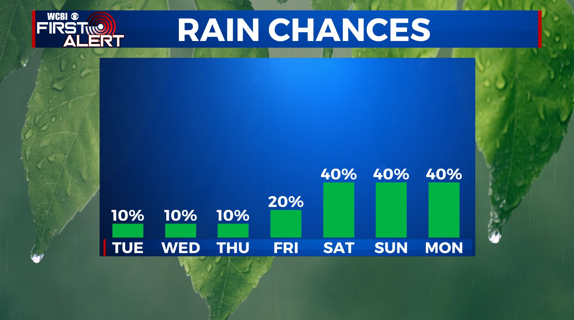
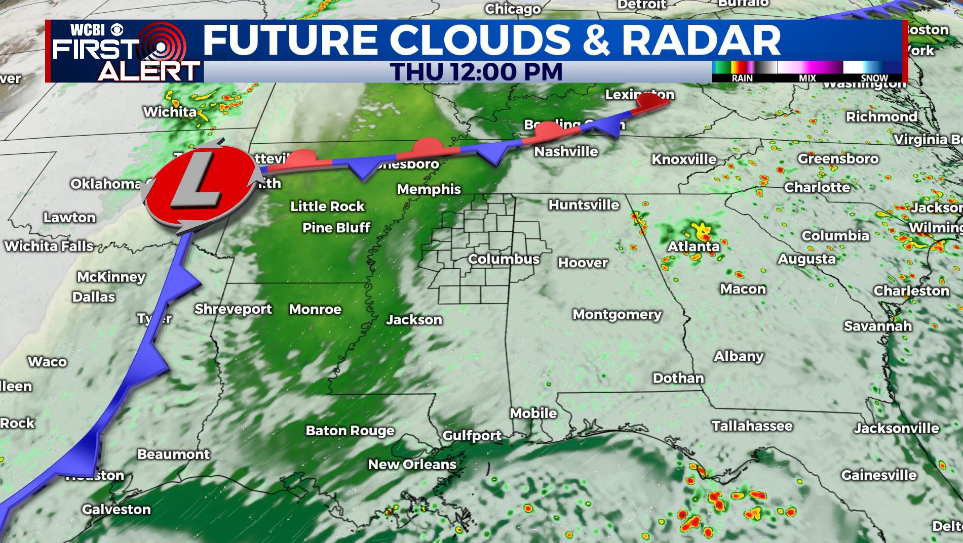
SATURDAY-MONDAY: The forecast for the upcoming weekend remains up in the air as we aren’t really sure what a cold front in the north is going to do. If it stays to our north and west, we’ll see warmer temperatures. If it manages to make it through the area, we’ll see cooler air once again filter in. For now, we’ll have a few more chances for showers and storms through the weekend and into early next week. Highs for now will be in the upper 80s with lows in the upper 60s. Stay tuned!
Stay connected with @WCBIWEATHER on Facebook, Twitter, Instagram, and the WCBI News App


Leave a Reply