Thursday showers and storms
COLUMBUS, Mississippi (WCBI) – Mostly dry Wednesday. Rain returning Wednesday night and continuing the chance into Friday afternoon.
WEDNESDAY NIGHT: A shocking fact, but heavy clouds and high humidity holds through another night. There is a chance for scattered showers and storms to move through late tonight, weakening as they push NE. Overnight lows will be in the upper 60s.

THURSDAY: More rain potential for our Thursday. We could see three rounds of showers/storms. First round is expected in the morning, along with the warm and moist air associated with the warm front. High temperatures will reach the lower 80s. Round two will be in the early evening, between 5-9pm. Round three goes overnight and into Friday morning. There is a Level 1 – Marginal Risk for severe threats. Damaging wind and hail continue as the primary concerns. Overnight lows will fall into the upper 60s.

FRIDAY: The rain will likely continue through Friday morning and clear out by the afternoon. High temperatures will be in the upper 70s to lower 80s. Cloud coverage will slowly clear. Expect a cooler night though, with overnight lows falling into the upper 50s!
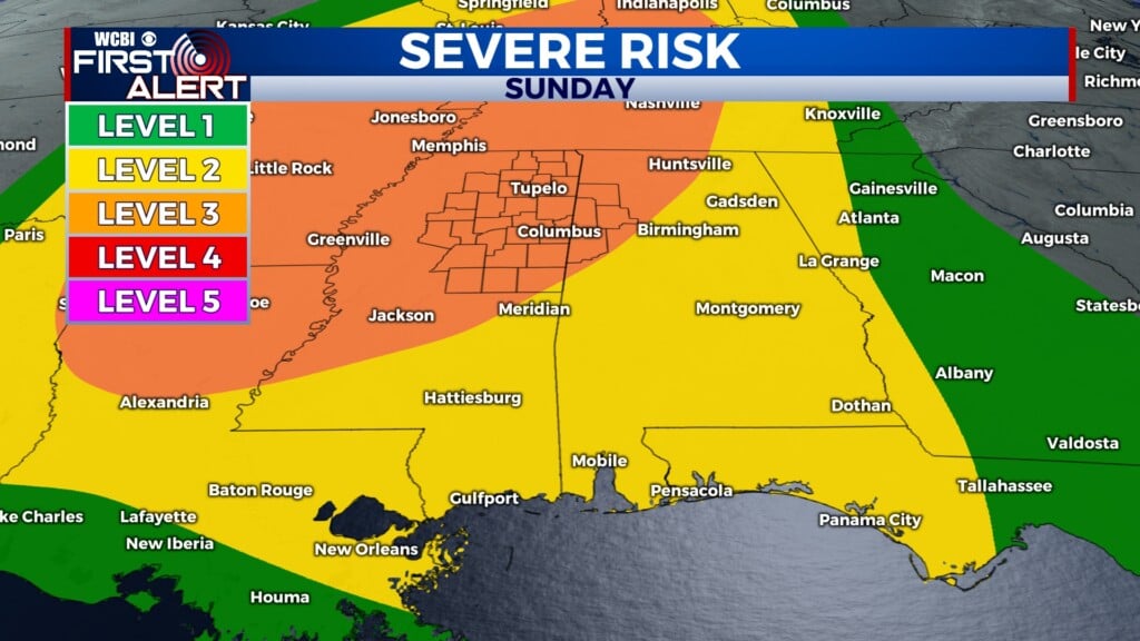
WEEKEND: Much drier conditions! There will be a nice mix of blue sky and sun, with a few passing clouds. High temps will be back in the low to middle 80s. Lows will fall back into the low to middle 60s.