Typical Summer Pattern Through Work Week.
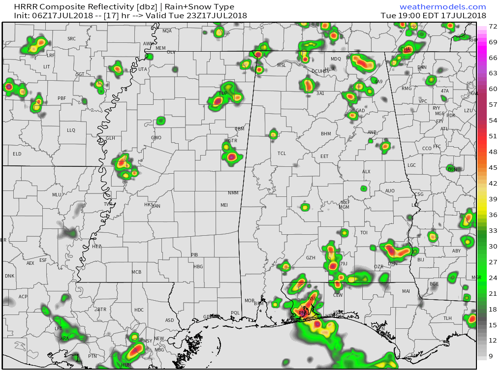
HRRR SIMULATED RADAR
LATE AFTERNOON/EARLY EVENING
TODAY: Temperatures climb from the low to mid 70s this morning to the low 90s this afternoon, with the heat index climbing as high as 105°. Patchy fog in the morning, and partly cloudy through the morning into the afternoon. Scattered showers and storms develop, with the highest chance for rain coming from 1 PM to 8 PM, although a few showers and storms will be possible outside that time-frame. Showers and storms decrease in coverage overnight, but an isolated lingering downpour cannot be ruled out. Temperatures drop into the 70s by the predawn hours.
WED/THU/FRI: A fairly typical summer pattern, with highs in the low 90s. A northerly wind will ever so slightly reduce our dewpoints, which will keep our heat index slightly lower. While still hot and humid, it wont be as bad as the start of the week. Daily pop up showers and storms typical of this time of year will remain in the forecast. Rain chances 30-40%.
SAT/SUN/MON: High temperatures will climb into the low to mid 90s each afternoon, and the heat index will be in the upper 90s and low 100s. Rain chances will be lower as we end this week and start next week, with just a few isolated downpours possible. Rain chances around 20%.


Leave a Reply