Typical Summertime Weather Pattern Continues this Weekend
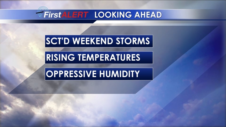
SATURDAY NIGHT: Additional showers and storms are likely with the chance of rain staying around 30% mainly before 7 pm. Lows Saturday night will remain in the 70s. Winds will be calm out of the W around 5 mph.
SUNDAY: Low to mid 90s return for highs as rain chances lower to 20-30%. The heat index may surpass 105 at times.
MONDAY: Partly cloudy, hot, and extremely humid. Dangerous heat indices between 105° and 110° during peak heating. There is a 20% chance of showers and storms but don’t expect a lot of natural relief.
TUESDAY: Another oppressive day is on tap with heat indices in the 105-110° range. Highs top out in the mid 90s. Hope for a few passing storms but the rain chances remain relatively low at 30%.
WEDNESDAY-FRIDAY: Cooler highs around 90 are more likely as rain and storm chances tick back up again.
Follow @WCBIWEATHER on Facebook, Twitter, and Instagram


Leave a Reply