Unsettled week ahead
SUMMARY: An unsettled weather pattern sets up for the work week with a stalled front and a few weak disturbances moving through. We’ll continue to watch for any strong storm possibilities but it’s just a bit too early tell if any will occur in our area.
SUNDAY NIGHT: Increasing clouds. Lows in the mid 40s. Winds SE 5-10 mph.
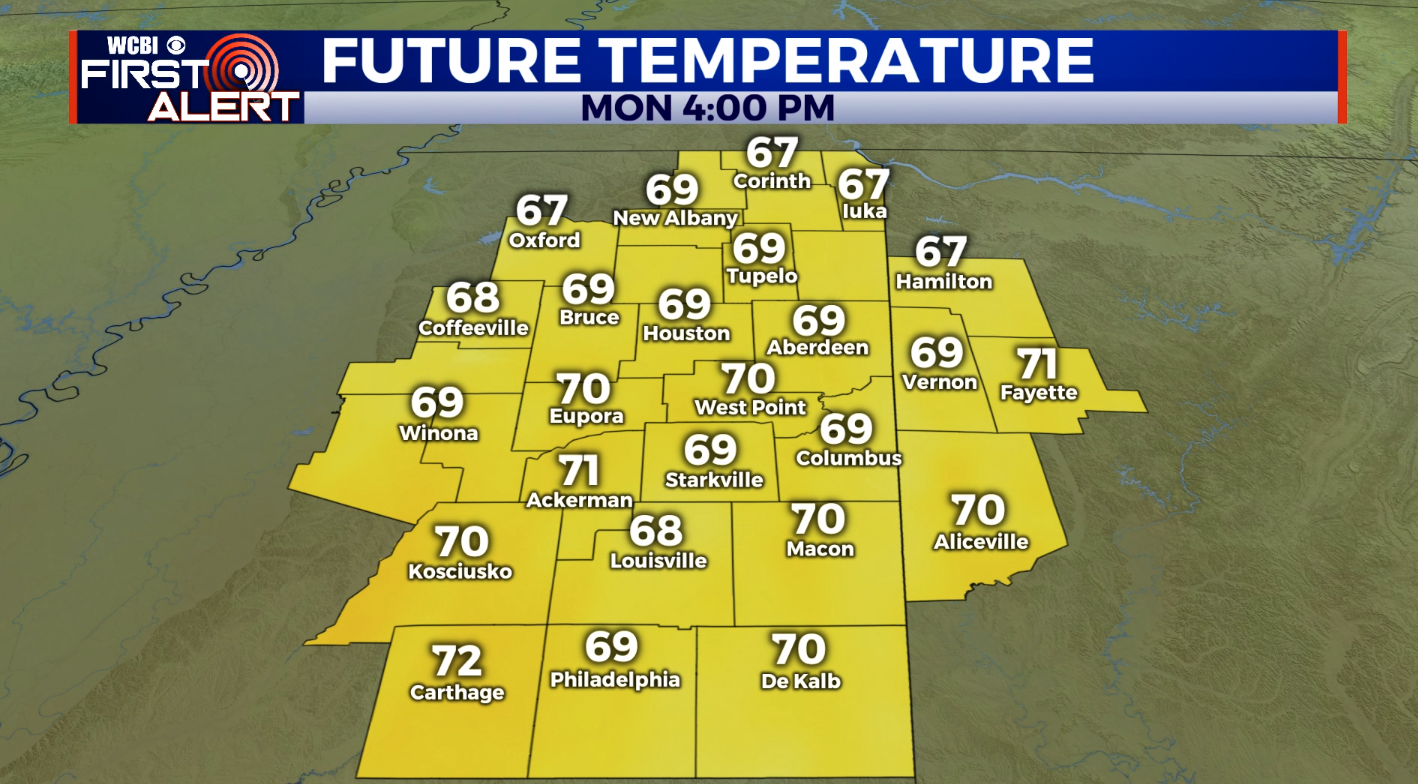
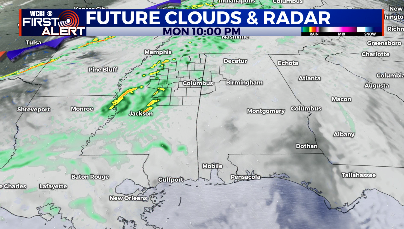
MONDAY: Mostly cloudy and breezy. Areas of showers will be possible during the afternoon and evening. Highs in the upper 60s to around 70. Southerly winds 10-20 mph with gusts perhaps over 25 mph.
MONDAY NIGHT: Areas of rain, maybe a storm. Lows in the upper 50s.
TUESDAY: Sun & clouds with the chance of a few showers. An isolated storm is also possible. Highs in the lower 70s.
WEDNESDAY: Warmer highs in the mid 70s. Afternoon and evening showers and storms are possible.
THURSDAY: Sun & clouds. Highs in the low 70s. Just a slight chance of rain.
FRIDAY: Mostly cloudy with areas of rain. Highs in the upper 60s.
SATURDAY: Temperatures rebound back into the mid 70s. Another round of showers and storms is possible.
Follow @WCBIWEATHER on Facebook, Twitter, Instagram, and on the WCBI News App


Leave a Reply