Warm & Dry Heading Into The Weekend
Weekend Outlook
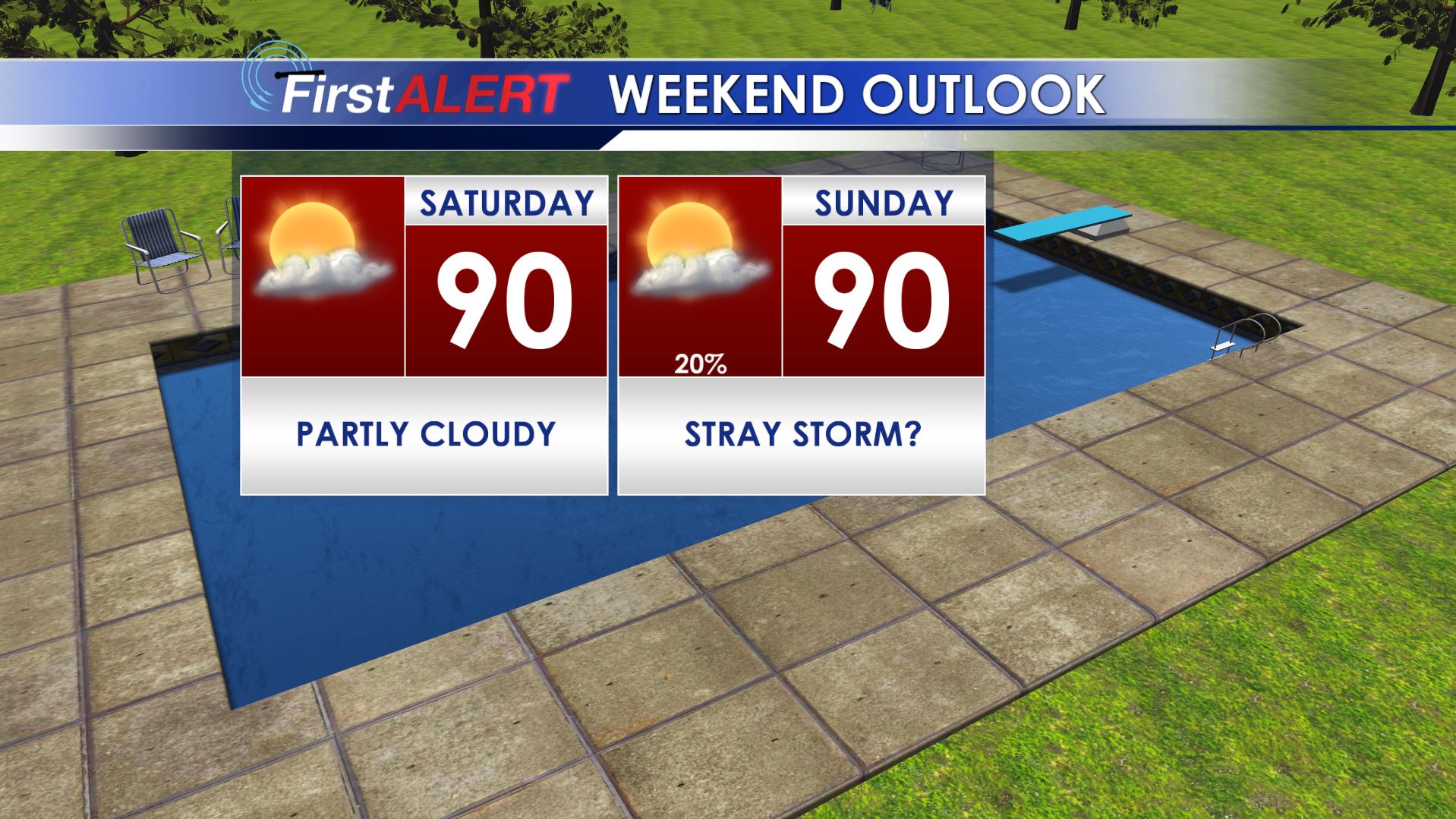
SUMMARY: Lots of sun remains on tap for Friday and the weekend. Our comfortable air mass will trend towards a more humid air mass by the Sunday and that could lead to a stray shower or storm. Better rain and storm chances come back next week.
THURSDAY NIGHT: Clear, quiet, and comfortable. Lows in the low to mid 60s with light and variable wind.
FRIDAY: Mostly sunny and warm. Highs around 90. Variable winds between 3 and 7 mph.
FRIDAY NIGHT: Clear and quiet. Lows in the mid to upper 60s
SATURDAY: Mostly sunny to partly cloudy. Highs around 90s. Lows Saturday night in the upper 60s.
SUNDAY: Partly cloudy and warm. Highs around 90. Just a 20% chance of a spotty afternoon shower or storm. Higher rain chances across southern and southwestern MS & AL.
NEXT WEEK: We’re boosting rain chances Monday – Wednesday due to tropical moisture returning and a weak cold front moving towards the region. Daily rain and storm chances go up to around 40%. Steamy highs in the upper 80s to lower 90s settle back in along with lows in the lower 70s.
Stay connected with @WCBIWEATHER on Facebook, Twitter, and Instagram


Leave a Reply