Warm Wednesday with more rain possible
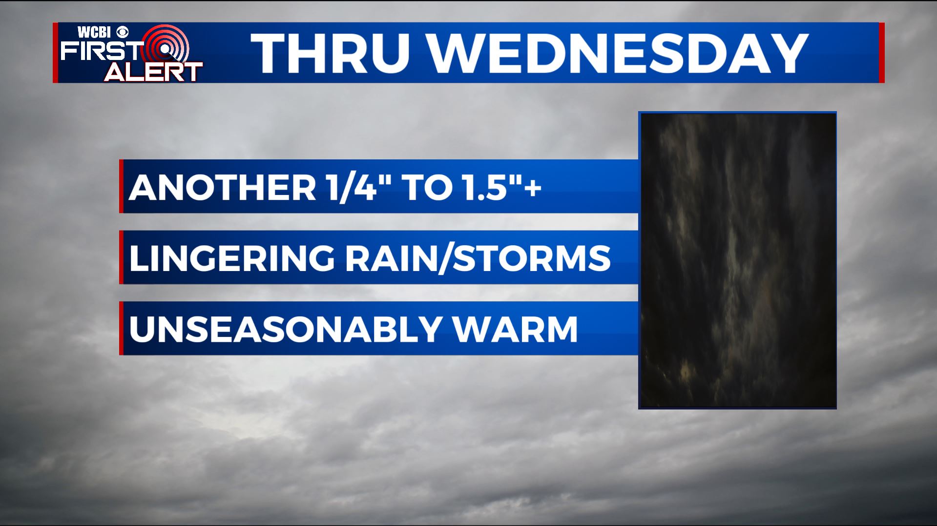
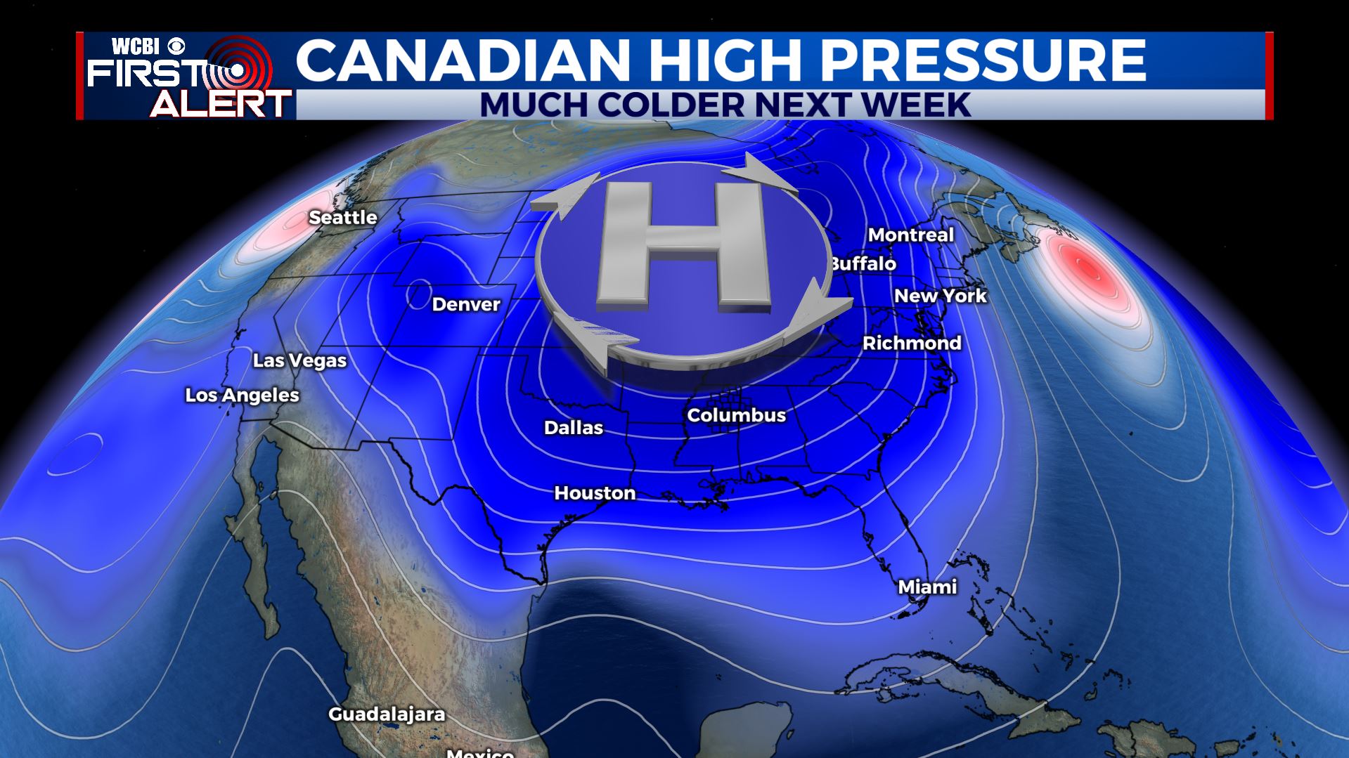
SUMMARY: Unseasonably mild weather will generally hold through Saturday before a big pattern shift allows Old Man Winter to return. Additional showers and storms may occur through Wednesday. An extra 1/4″ to over 1 1/2″ of moisture may aggravate flooding issues but the rain doesn’t look to be as heavy as what has recently fallen. A strong cold front will spark more showers and storms on Saturday. We’re going to continue monitoring the threat for strong activity with the front but at this time it looks like ingredients may not team up… and that’s always a good thing.
TUESDAY NIGHT: Cloudy with lingering showers. Areas of locally dense fog. Mild with lows in the low 60s.
WEDNESDAY: Mostly cloudy with a 60% chance of showers and embedded storms. The most widespread coverage may occur during the afternoon and evening as a cold front pushes from north to south across the region. Winds SW 5-15 mph.
WEDNESDAY NIGHT: Showers end but clouds hang tough. Lows in the mid to low 50s.
THURSDAY: Mostly cloudy and cooler. Highs in the mid to upper 50s. Winds NE 10-15 mph.
THURSDAY NIGHT: Mostly cloudy. Much cooler lows in the 40s.
FRIDAY: Mostly cloudy. Highs in the upper 50s to around 60.
SATURDAY: Areas of rain with a few embedded storms possible. Highs in the 60s. The odds of strong weather still appear low but we’ll continue to watch things evolve.
SATURDAY NIGHT: Clearing skies with much colder lows in the 30s.
SUNDAY & MONDAY: Mostly sunny. Highs in the mid to upper 40s with overnight lows in the 20s.
Follow @WCBIWEATHER on Facebook, Twitter, Instagram, and the WCBI news app


Leave a Reply