WARM AND WET NEXT WEEK
It was absolutely miserable on Friday! Mostly cloudy with wind chill values near freezing all day made for a nasty start to the weekend. Our warming trend will begin this weekend, but it will be accompanied by rain. Rain will last through much of next week.
SATURDAY: Clouds will be around as we start things off on Saturday. By the afternoon hours, most of us will begin to see a few peaks of sunshine! Winds will start to shift from the northeast to the southeast. This will bring in some warmer air. Highs Saturday will reach the upper 40s and lower 50s, with overnight lows dropping down into the upper 30s and lower 40s.
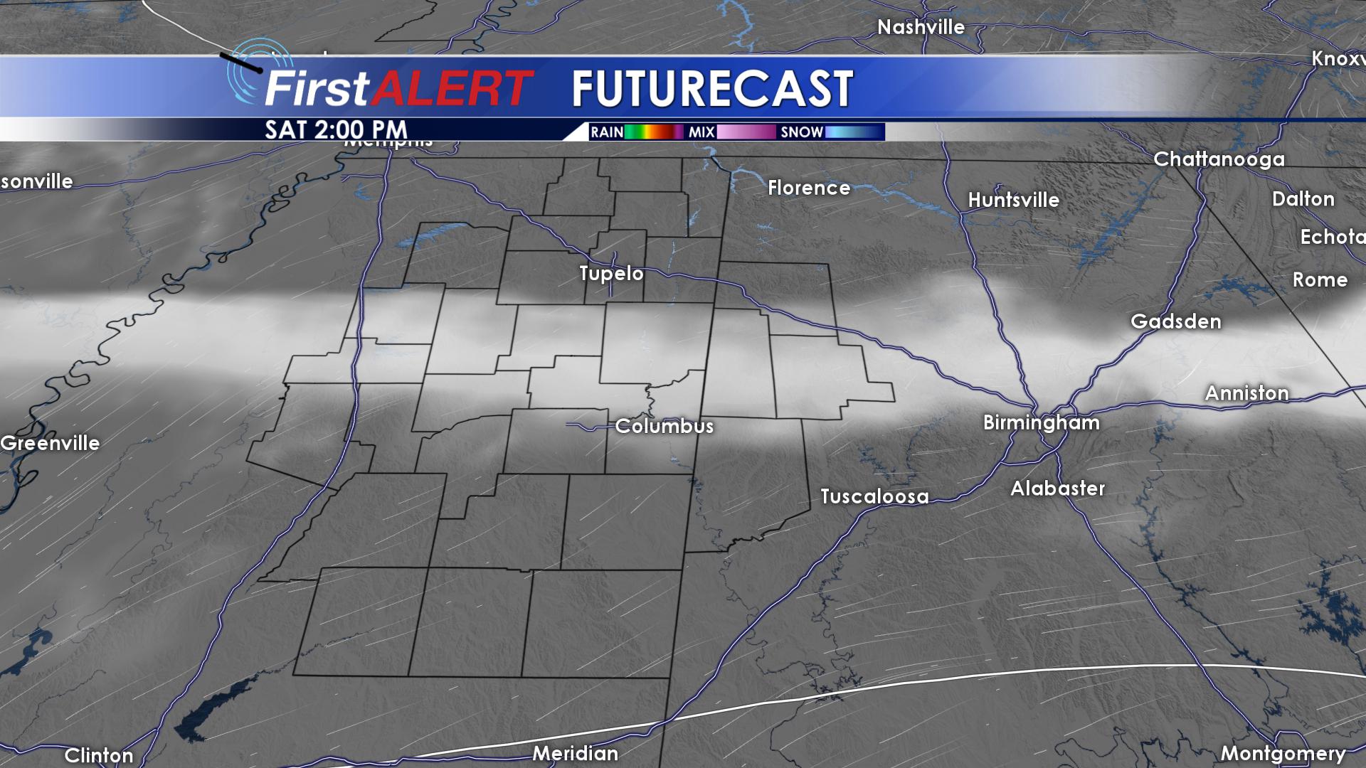
Some Sun Returns Saturday PM
SUNDAY: Sunday will be noticeably warmer as highs top out in the upper 50s across the area! Southeasterly winds will help warm our temperatures, but they will also increase our moisture across the area. Scattered showers will be possible on Sunday. Overnight, expect skies to remain cloudy, with lows remaining mild in the lower 50’s.
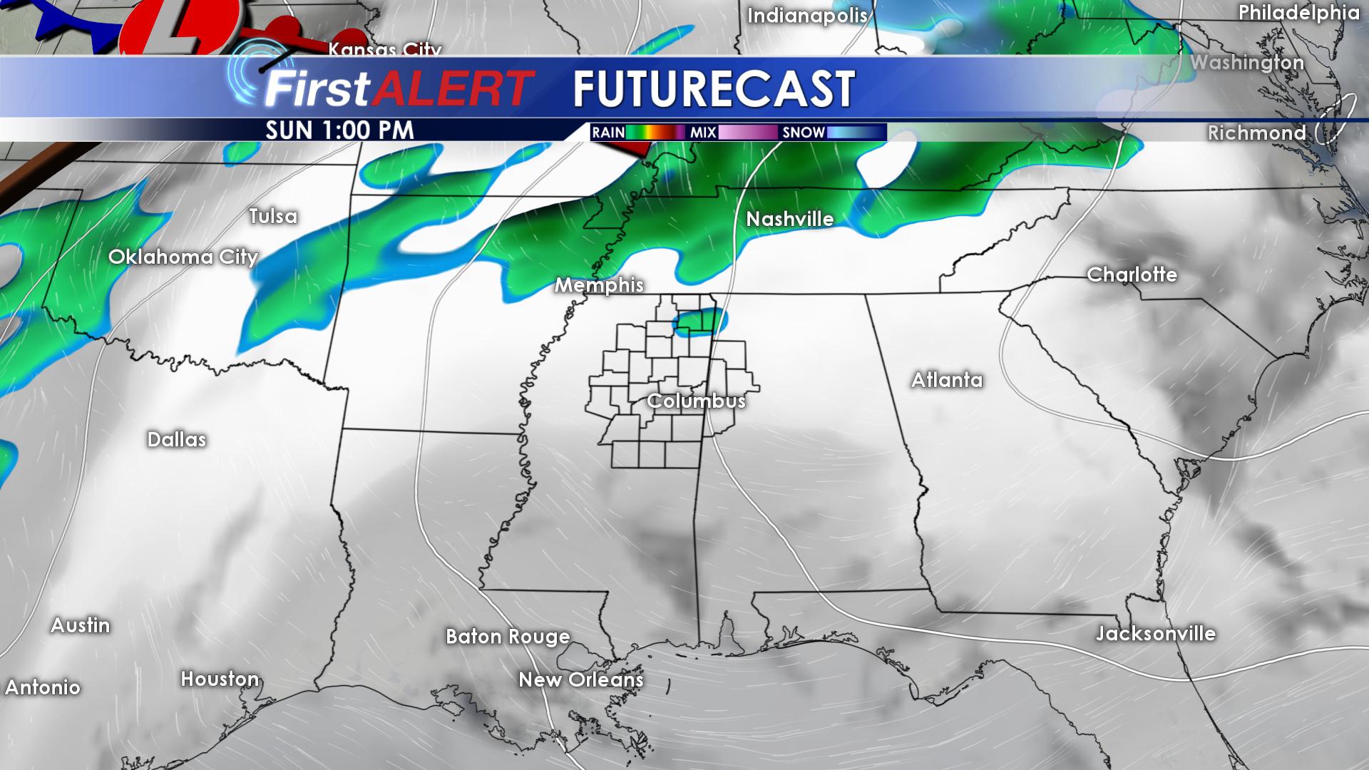
Isolated Showers Sunday
MONDAY & TUESDAY: A strong cold front will move throughout the region late in the day on Monday through the early morning hours on Tuesday. A few of these storms could be strong to severe. Highs on Monday and Tuesday will top out in the lower and middle 60s with overnight lows in the middle 50s for Monday night. Once the cold front passes through on Tuesday, lows will drop back down into the upper 30s.
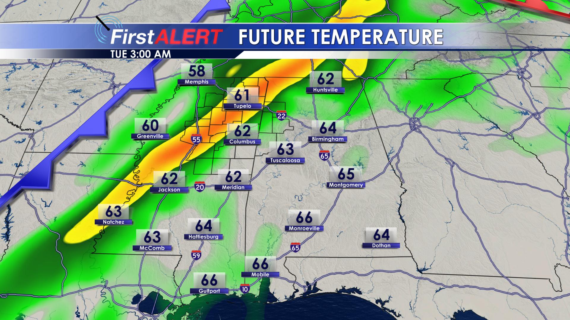
Cold Front for Monday PM Tuesday AM
WEDNESDAY: Wednesday will be an absolutely beautiful day! Skies will remain mostly clear, with abundant sunshine across the region. Highs will be a little cooler, only making it into the upper 50s and lower 60s. Winds out of the northwest could make it feel a little cooler, too! Overnight lows on Wednesday will dip down into the upper 30s.
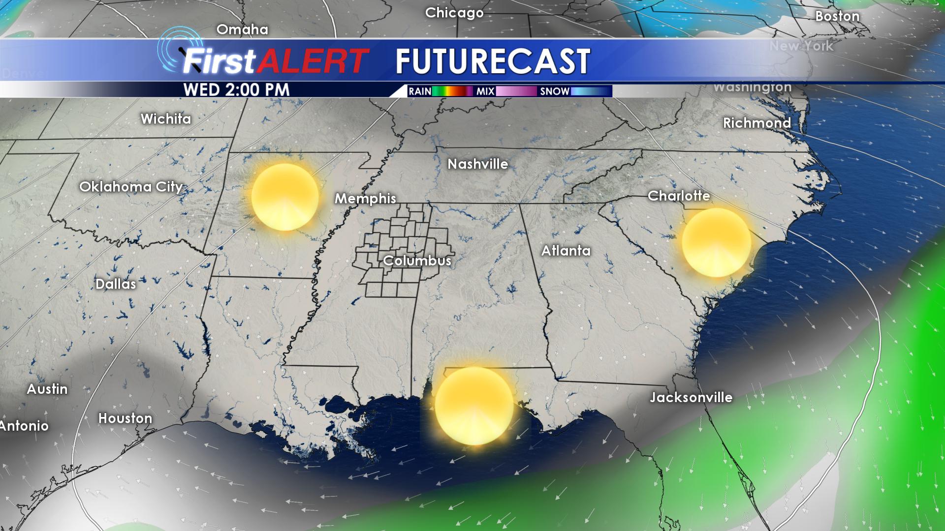
Sunny Wednesday
THURSDAY & FRIDAY: Another cold front will quickly move in on Thursday. This cold front looks like it could bring some heavier rainfall totals to northeast Mississippi and west Alabama. Many locations could see between 1 to 2 inches out of this system. A few of these storms could be strong to severe. Luckily, we will remain warm with highs ranging from the lower 60s on Thursday, to the upper 60s on Friday. Overnight lows will remain mild, only dropping down into the lower 50s.
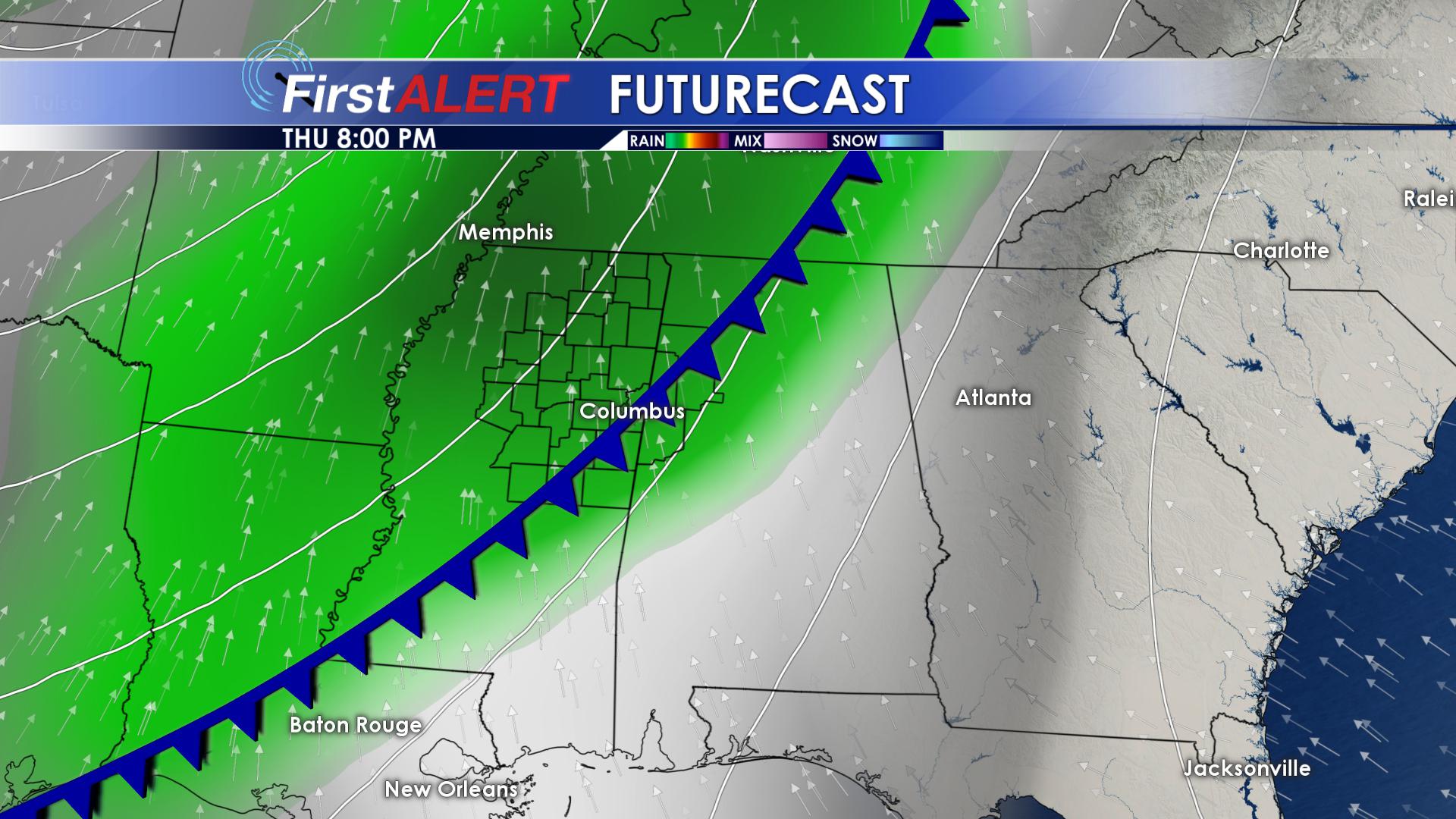
Stormy Thursday and Friday
Be sure to follow us on Facebook, Twitter, Instagram and Snapchat @WCBIWEATHER


Leave a Reply