WARMER WEATHER LEAVES MID-WEEK
The sunshine has been a welcomed sight to many this weekend. Warmer temperatures have been welcomed across the area, too! Enjoy it while it lasts, because colder weather arrives on Wednesday.
SUNDAY NIGHT: Sunday night will start off clear. Overnight lows will drop into the lower 40’s. Later in the night, patchy fog will develop across the area. This could caused reduced visibility in some areas.
MONDAY Another warm day is in store for our area on Monday. Monday afternoon, clouds will begin to move back into our area. Later in the evening, rain showers will begin to move into the area. Highs will reach the upper 60’s on Monday. We may even squeeze out a few lower 70’s, too. Overnight lows on Monday will be fairly warm thanks to the increased clouds. We will only drop down into the lower 50’s.
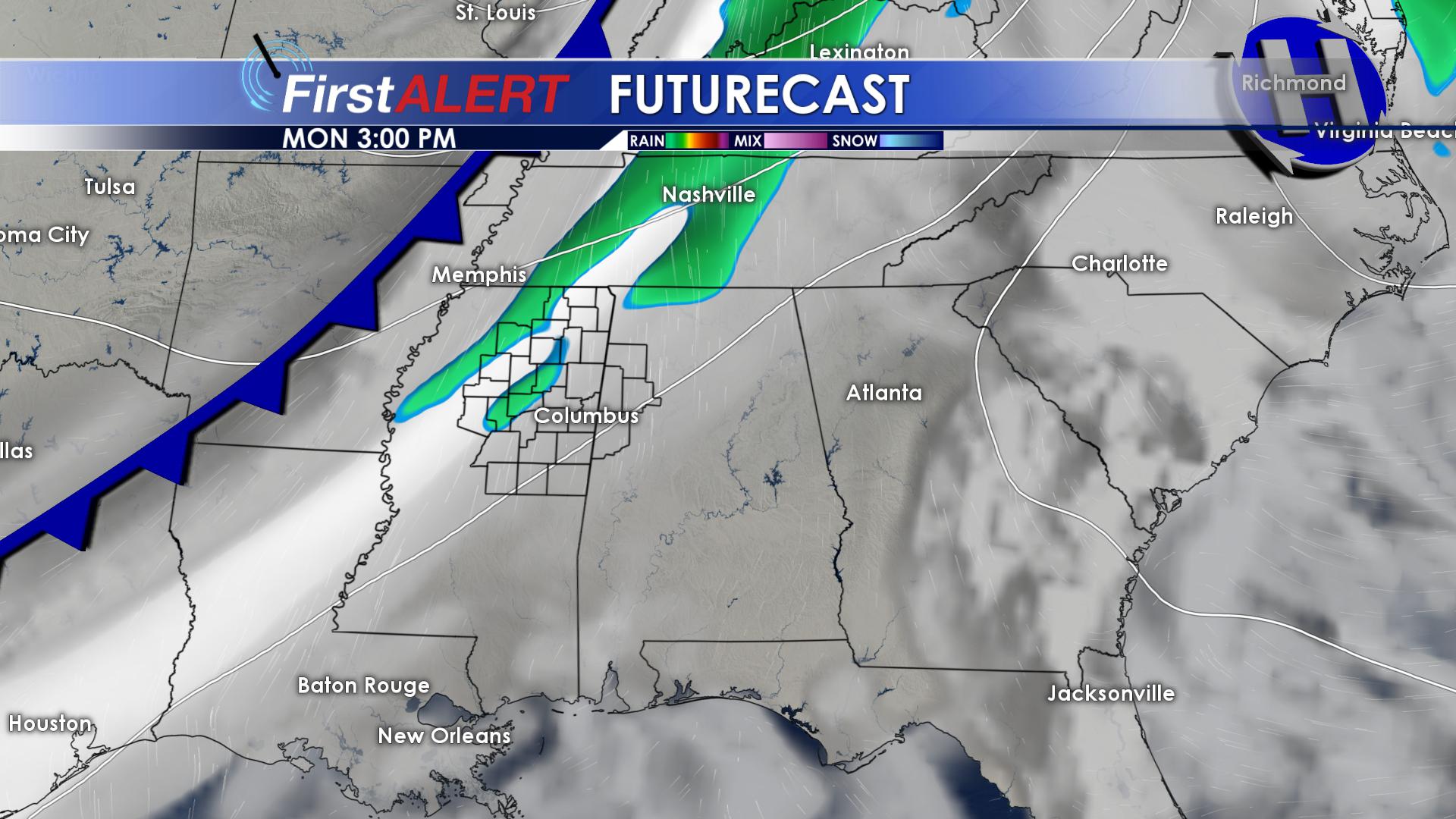
Rain Monday Evening
TUESDAY: On Tuesday, rain showers will be around during the morning hours. By afternoon, the sun will begin to come back out across our area. Highs on Tuesday will reach the middle 60’s. Tuesday evening, another cold front will push into our area. This is going to drop our daytime highs by 10 to 15 degrees for the remainder of next week. Overnight lows Tuesday night will drop down into the upper 30’s.
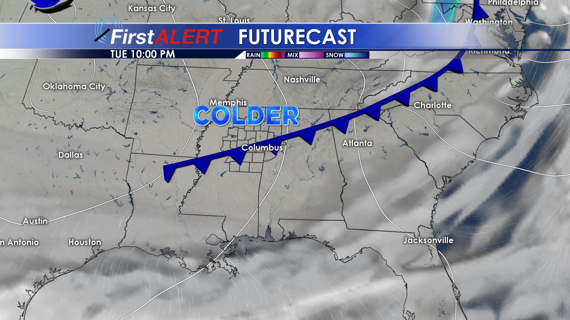
Tuesday Night’s Cold Front
WEDNESDAY & THURSDAY: Wednesday will be noticeably colder. Sunshine will return Wednesday, but highs are going to struggle to make it into the lower 50’s. Northern locations will struggle to warm up to the lower 40’s! Winds will be out of the north around 10 MPH, so it will feel even colder. Wednesday night will be bone chilling, as lows drop into the middle and upper 20’s. Sunshine will remain throughout the day on Thursday, with highs in the middle 40’s. Thursday night will be cold, with lows in the lower to middle 30’s. Clouds will begin to increase Thursday night.
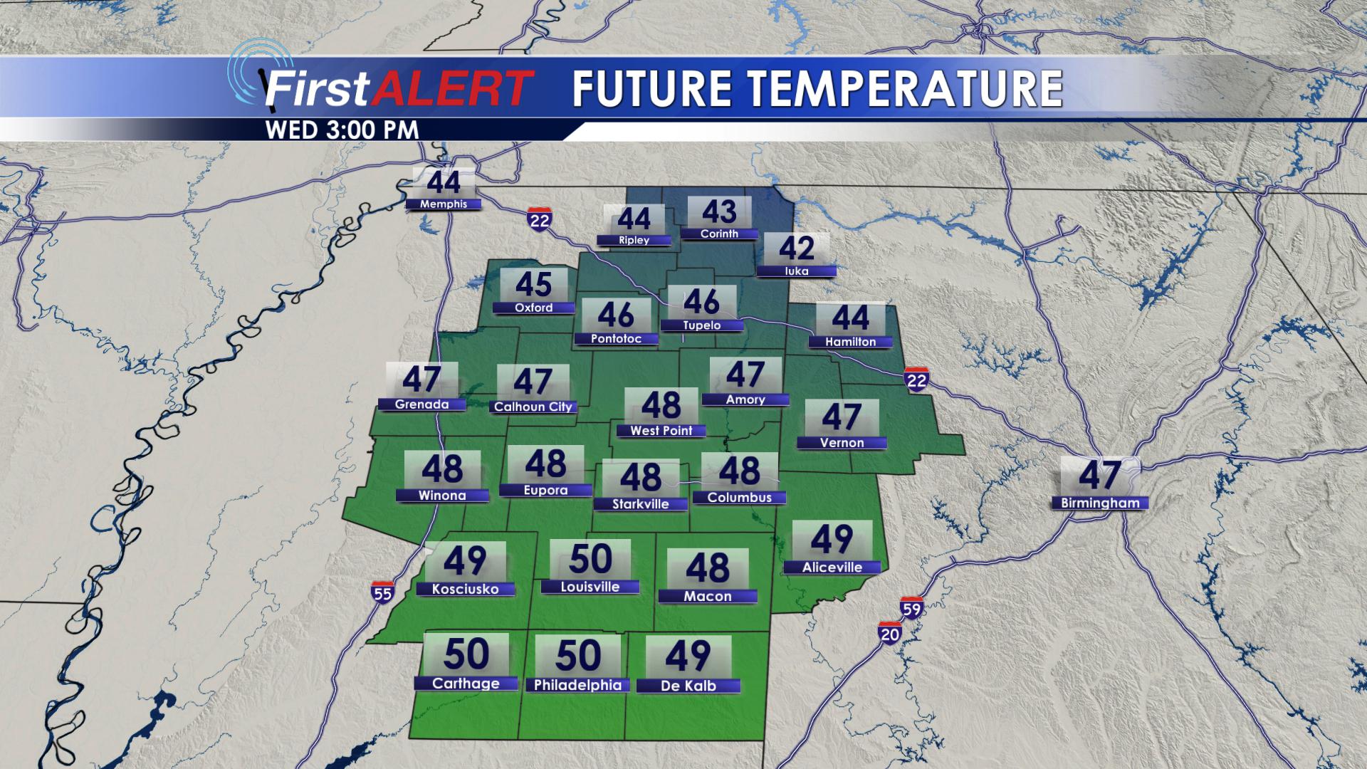
Wednesday’s Highs
FRIDAY & SATURDAY: Rain showers will move into the area on Friday. Early Friday morning, temperatures will be close to freezing. There is a small chance that a few of us could see a few snowflakes mix in with rain on Friday. NO ACCUMULATIONS OR IMPACTS ARE EXPECTED.Highs on Friday will reach the middle to upper 40’s. Friday night, we could see a few flakes mix in across northern portions of the area as well. Again, no accumulations or impacts are expected. Do not go and buy bread and milk! On Saturday, rain showers will become more widespread across the area. Highs on Saturday will top out in the upper 40’s. Rain will move out Saturday night, and overnight lows will drop into the upper 30’s.
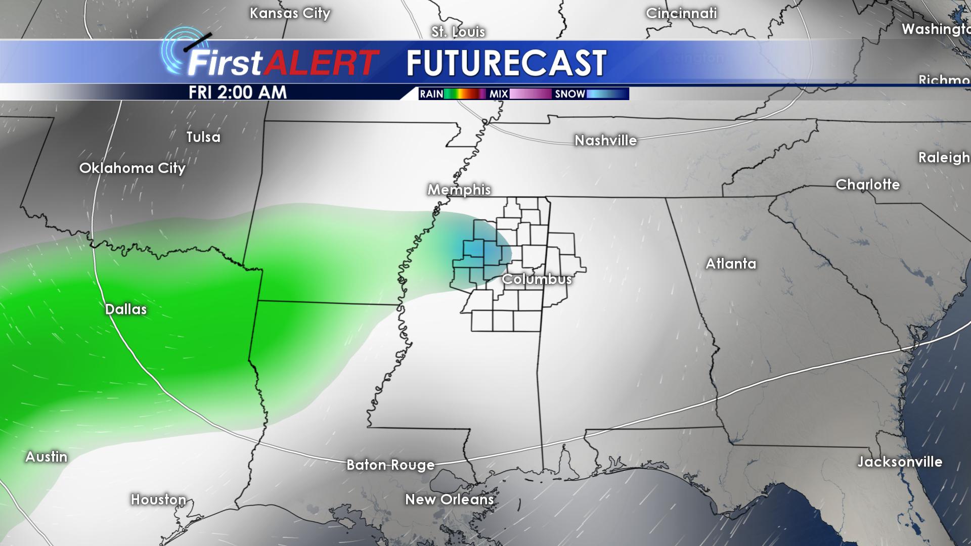
Futurecast For Friday
SUNDAY: Highs on Sunday will climb back into the lower 50’s, with abundant sunshine across the region.
Be sure to follow us on Facebook, Twitter, Instagram and Snapchat @WCBIWEATHER


Leave a Reply