Watching another round of strong storms for Wednesday
SUMMARY: Several rounds of storms will affect the region during the coming days. The first will be Wednesday afternoon with another scattered batch possible Thursday. The unsettled weather is going to stick around through the weekend into next week as well. Something we’ll continue to keep our eyes on. Rainfall projections over the next week suggest another 1-3″ may fall across the area. We’ll remain warm & above average with highs in the upper 60s to the 70s.
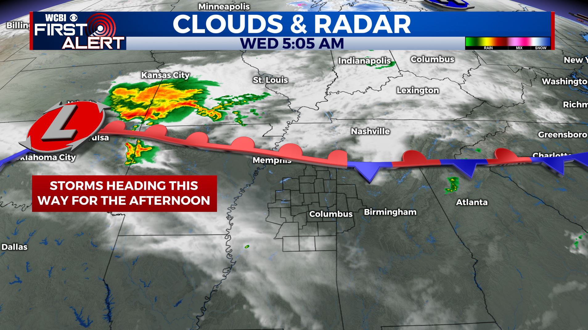
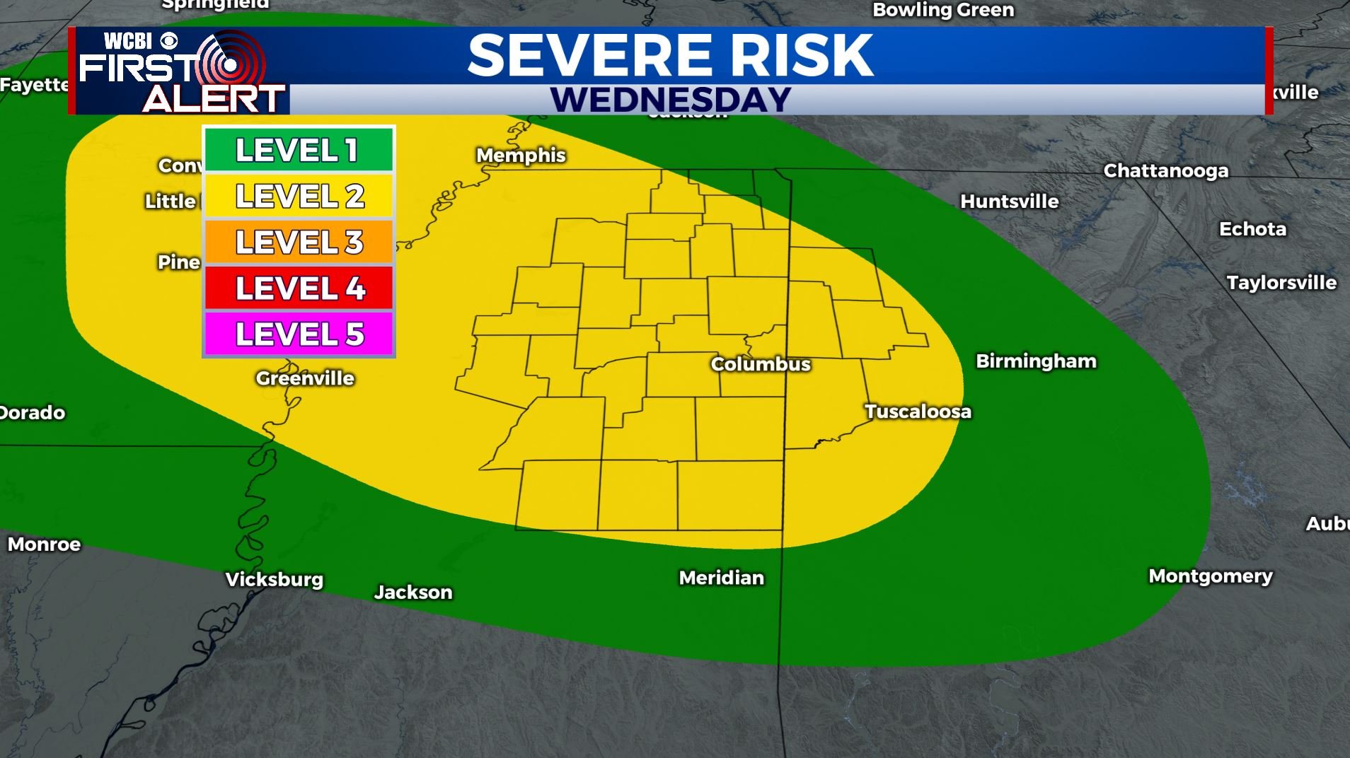
WEDNESDAY: Storms this morning firing up over OK/MO/KS/AR will be heading in our direction for our Wednesday. It’s cloudy & quiet one for us this morning. Afternoon and evening showers and storms are likely. We’re right now under a Level 2 for strong to severe storms. Hail and gusty winds are the main threats but an isolated tornado can’t be rules out. Warmer with highs in the mid 70s. We’ll keep you updated!
WEDNESDAY NIGHT: Mostly cloudy with the chance of a few more showers and storms. Lows around 60.
THURSDAY: Partly to mostly cloudy and mild. Highs in the upper 70s. While a few showers and storms are possible during the day the highest odds will likely wait until the evening and overnight hours going into Friday morning. Once again there could be strong to severe storms that we’ll have to watch.
THURSDAY: A mix of sun & clouds with a scattered chance of showers and storms. Highs in the mid 70s.
FRIDAY: Mostly cloudy with another likely chance of rain. Highs in the upper 60s.
SATURDAY: Variably cloudy with a chance of rain and thunderstorms. Highs in the upper 60s to lower 70s.
SUNDAY: Another chance of scattered showers. Variably cloudy. Highs in the mid to upper 60s.
MONDAY: A few more showers are possible. Highs in the upper 60s.
Stay connected with @WCBIWEATHER on Facebook, Twitter, Instagram, and the WCBI News App


Leave a Reply