WCBI Weather Works – The Making of A Weather Warning
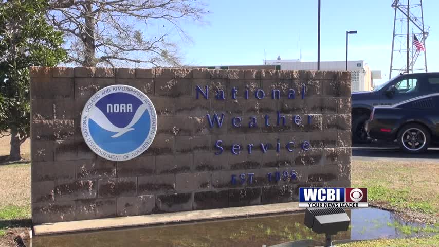
Here in the deep south we are no strangers to severe Thunderstorm and Tornado warnings. In fact we actually had severel issued last night. To wrap up Severe Weather Awareness week, our very own meteorologist Alex Puckett had the chance to go visit the National Weather Service in Jackson to see how these warnings are issued.
 There are many steps that go into issuing a severe thunderstorm or tornado warning. The National Weather Service looks at many radar variables including Reflectivity, velocity and correlation coefficient. They use all of this information to determine if a thunderstorm meets severe criteria.
Alright,so we’re looking at a storm that moving out of Webster county into Clay county, this is from a previous event. So right now I have to decide if I’m going to issue a warning, what type of warning, things like that. It looks like there’s some rotation there. Certainly enough that would warrant a tornado warning, especially considering what the storm looks like structurally.
Once it is determined that a storm meets those criteria, it’s time to draw the warning box.
So I’m gonna drag this little dot here towards where we’re concernd about a tornado developing.
After the warning box is drawn, the specifics of the warning must then be determined.
We not only have strong indication on radar of good rotation, we have indication of tornado
debris. So at this point we’re gonna issue a confirmed tornado warning.
After that, the warning just needs to be sent to the public
So now it’s as simple and hitting enter, adding our name. And THAT is how the National Weather Service issues warnings in our area so that you can stay safe
With this weeks WCBI Weather Works, I’m Meteorologist Amanda Reynolds


Leave a Reply