Watching Barry’s Remnants This Weekend
SUMMARY: The remnants of Tropical Storm Barry are going to take a slightly farther westward track through LA & AR. We’ll be on the eastern side of the system and that still means an isolated tornado threat from Saturday PM into Monday in addition to a heavy rain threat. A swath of 1-6″ or more may fall across the WCBI viewing area between now and Monday night. Flooding, flash flooding, and scattered power outages are things that may occur during the coming days.
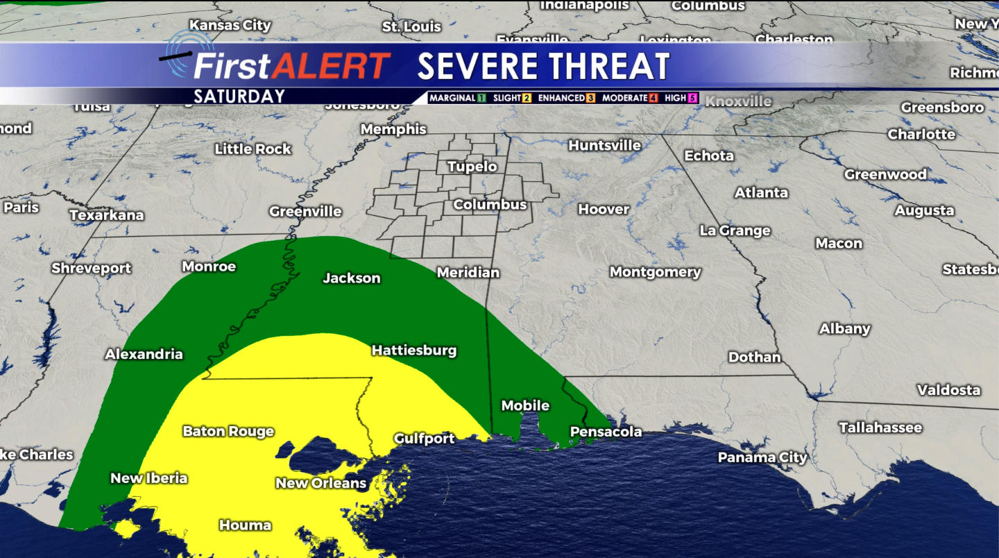
SATURDAY: Highs in the mid to upper 80s with southeasterly winds between 10 and 15 mph. Bands of showers and storms will be possible from about midday onward. Any cell may produce lightning and torrential downpours. There is also a low end risk for a tornado or two as well.
SATURDAY NIGHT: Some showers/storms may remain in the region. Look for lows in the 70s.
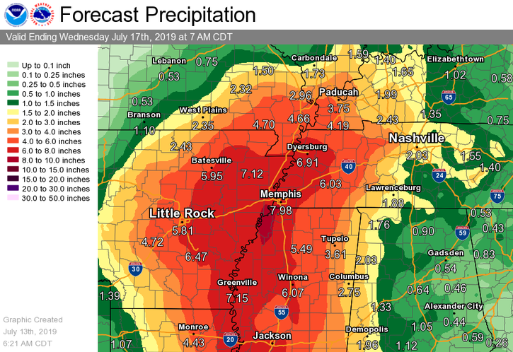
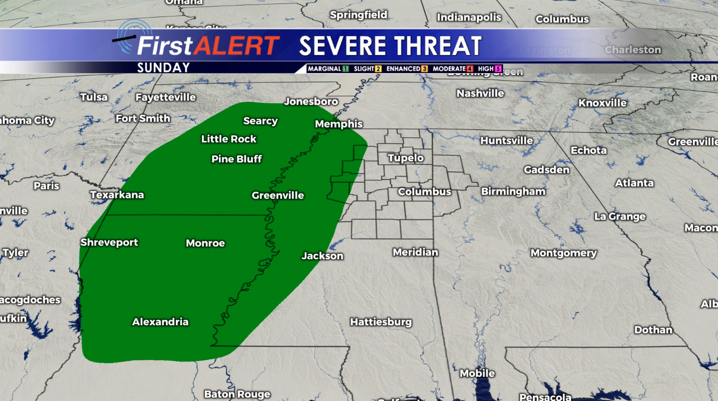
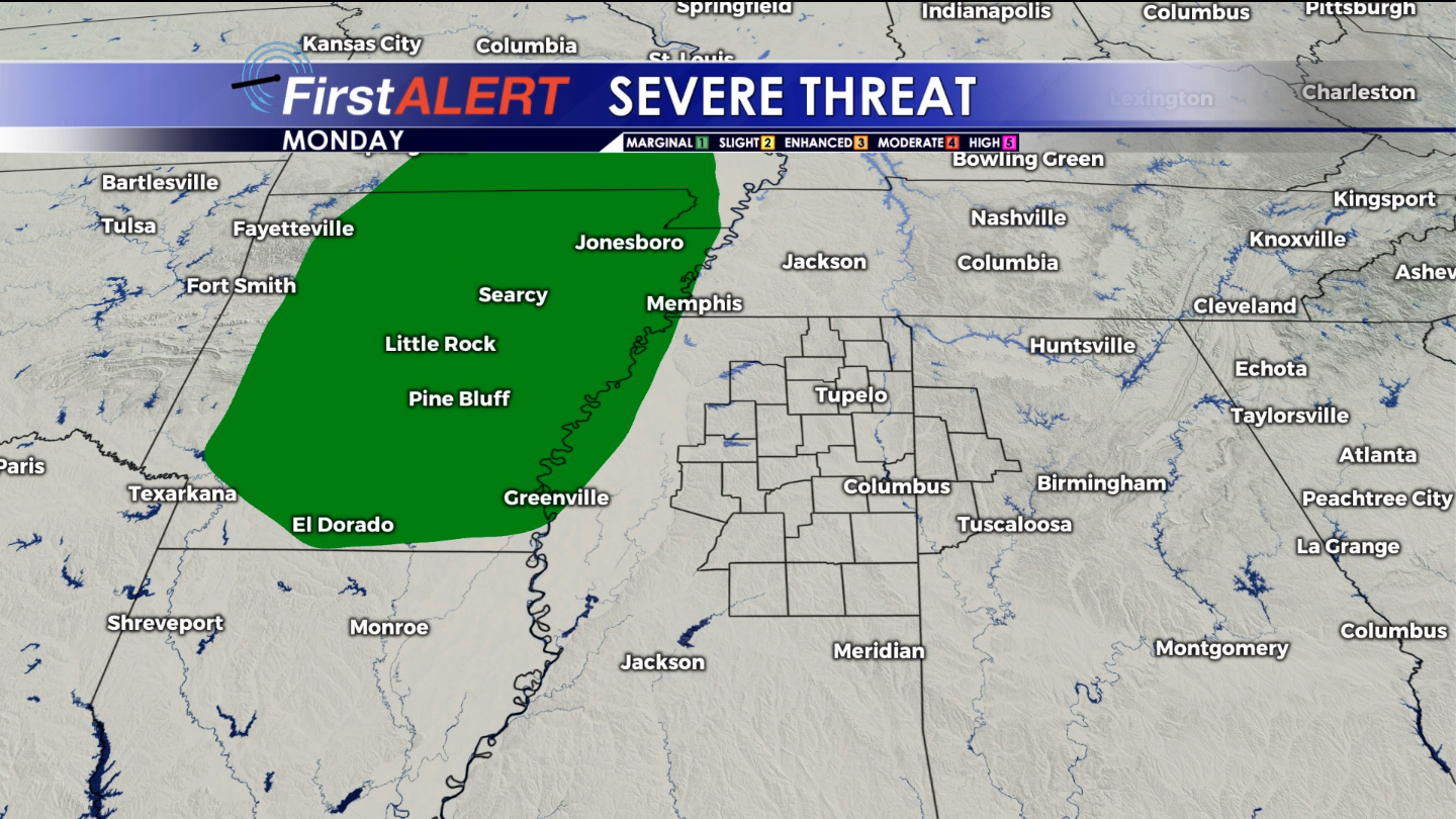
SUNDAY-MONDAY: The remnant circulation of Barry is expected to pass well to our west through Louisiana and Arkansas; however, a band of heavy rain may still affect our region. Total storm rainfall is likely going to range from about 1″ in parts of west AL to as much as 6″ or more closer to I-55 and points west. A very sharp gradient may occur between areas that get soaked and areas that don’t get that much rain. The isolated tornado threat will continue as well.
TUESDAY-FRIDAY: Barry’s remnants will pull away by Tuesday but the chance of showers and storms will continue on a scattered basis for a few days. Gradually warming temperatures into the low and mid 90s can be expected as we see more and more sunshine. Heat index values are going to pulse back up into the 100s by the end of the week.
Follow @WCBIWEATHER on Facebook, Twitter, and Instagram


Leave a Reply