WET START TO OUR WEEKEND
THURSDAY NIGHT: Rain showers become more widespread Thursday night. Winds will be breezy out of the southeast. Gusts could approach 25 MPH overnight. Lows will drop down into the lower and middle 50’s area wide.
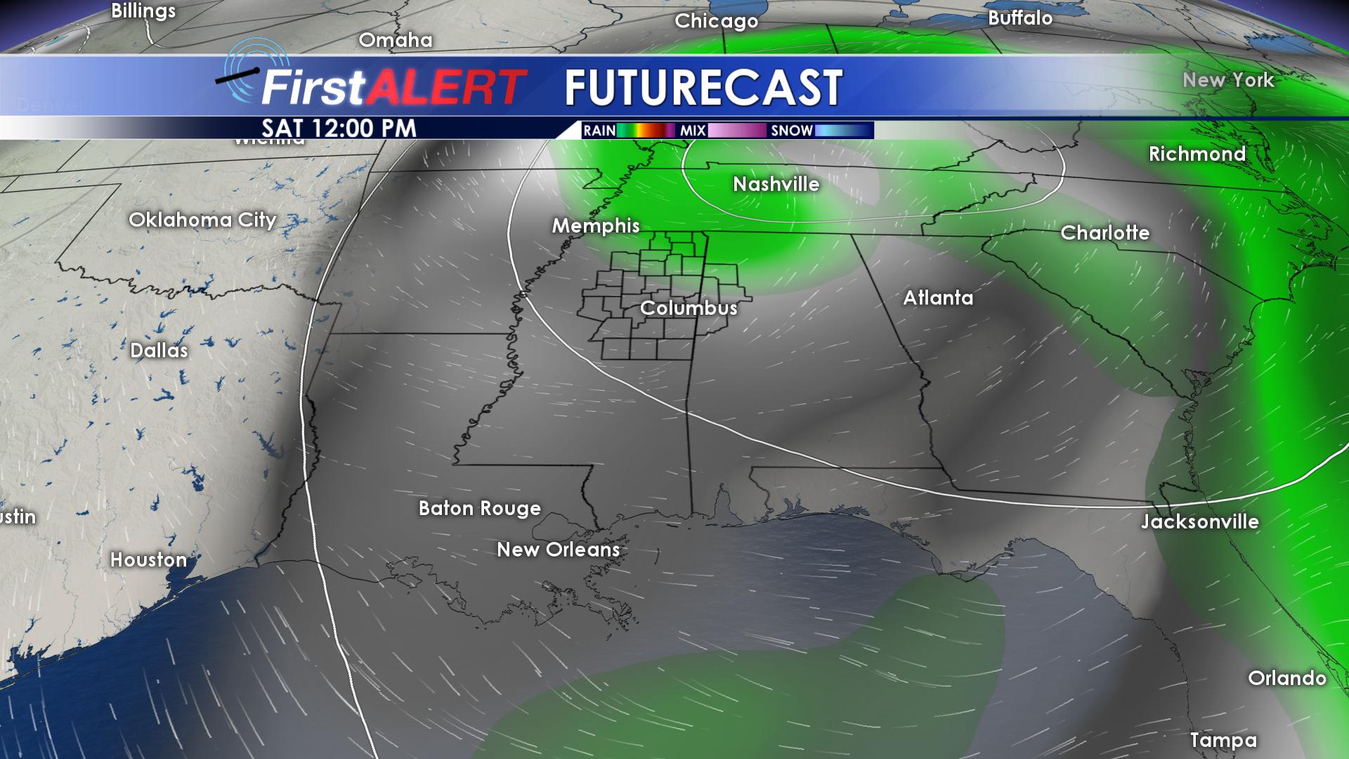
FRIDAY/SATURDAY: Rain showers will hang around for most of the day on Friday as the upper level low associated with out current weather system moves through out area. Winds will shift from the southeast to the south on Friday, and remain gusty. Highs on Friday will top out in the lower 60’s. On Saturday, northeastern portions of our area will likely see a few showers to start things off on Saturday morning. By the evening hours, our area will be dry, but the clouds are going to stick around through the overnight hours.
SUNDAY: Sunday is going to remain dry, but mostly cloudy. A dry northwest wind will make for a pleasant Sunday afternoon, as we top out in the middle 50’s. We may be able to squeak out a few peaks of sunshine, but clouds should dominate for most of the day.
MONDAY: Clouds will break on Monday, leaving us with partly cloudy skies. Highs on Monday will top out in the upper 50’s, with overnight lows in the middle 30’s.
TUESDAY: Partly cloudy skies will stick around on Tuesday. Highs will top out in the middle 50’s, with overnight lows in the middle 30’s. We could see a few areas of patch frost, but no widespread freeze is expected.
WEDNESDAY: A weak disturbance will move through our area on Wednesday. Clouds will move back into our area Wednesday evening, and we could even see a stray shower or two across the region .Highs on Wednesday will top out in the middle and upper 50’s, with overnight lows in the upper 30’s.
THURSDAY: Sunshine will return on Thursday. We will have partly cloudy skies, with highs approaching the lower 60’s on Thursday.
FOLLOW US ON FACEBOOK, TWITTER, INSTAGRAM AND SNAPCHAT @WCBIWEATHER


Leave a Reply