Windy & Warm Friday, Strong Saturday Storms
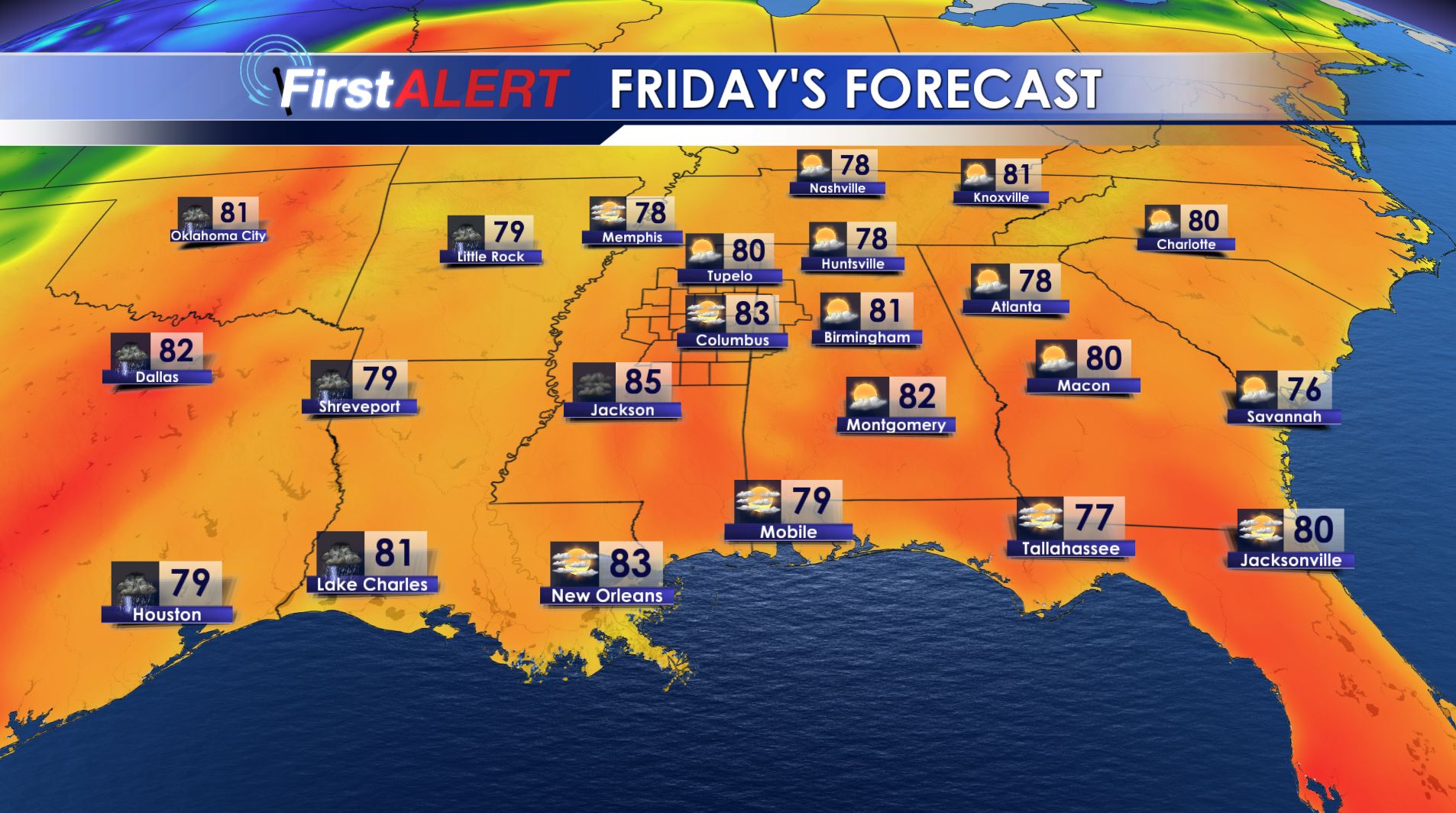
Friday’s Forecast
THURSDAY NIGHT: Mainly clear and mild with lows in the mid 50s. Southerly winds between 5 and 15 mph.
FRIDAY: Mostly sunny to partly cloudy. Highs in the low 80s. Southerly winds between 10 and 25 mph with higher gusts.
FRIDAY NIGHT: A line of strong storms is possible after 2 a.m. Storms may have the potential for damaging wind gusts, heavy rain, hail, and an isolated tornado. Lows will be in the 60s.
SATURDAY: Morning rain and storms are possible with a lull in severe weather potential during the late morning. Additional strong to severe storms with heavy rain, hail, damaging wind gusts, and isolated tornadoes look to be possible during the afternoon and evening, especially southeast of the Natchez Trace Parkway. If storms early Saturday morning can stabilize the atmosphere enough then our area may miss out on redevelopment That is far from certain so be sure to check back with us on Friday for the latest. Look for highs somewhere in the 70s.
SUNDAY: Cooler northwesterly winds return along with chilly highs in the 50s to lower 60s. A few isolated showers are possible.
SUNDAY NIGHT: Mainly clear and cool. Lows in the mid 30s. Patchy frost can’t be ruled out.
NEXT WEEK: We’ll have a chilly day Monday with highs in the 60s and another cool night in the 30s Monday night. Temperatures are going to moderate Tuesday and Wednesday.
Follow @WCBIWEATHER on Facebook, Twitter, Instagram, and Snapchat


Leave a Reply