Warm and Breezy Today; Heavy Rain and Strong Storms Sunday.

SUNDAY SEVERE THREAT

WEEKEND PLANNER
STRONG/SEVERE STORMS AND FLOODING POSSIBLE SUNDAY:
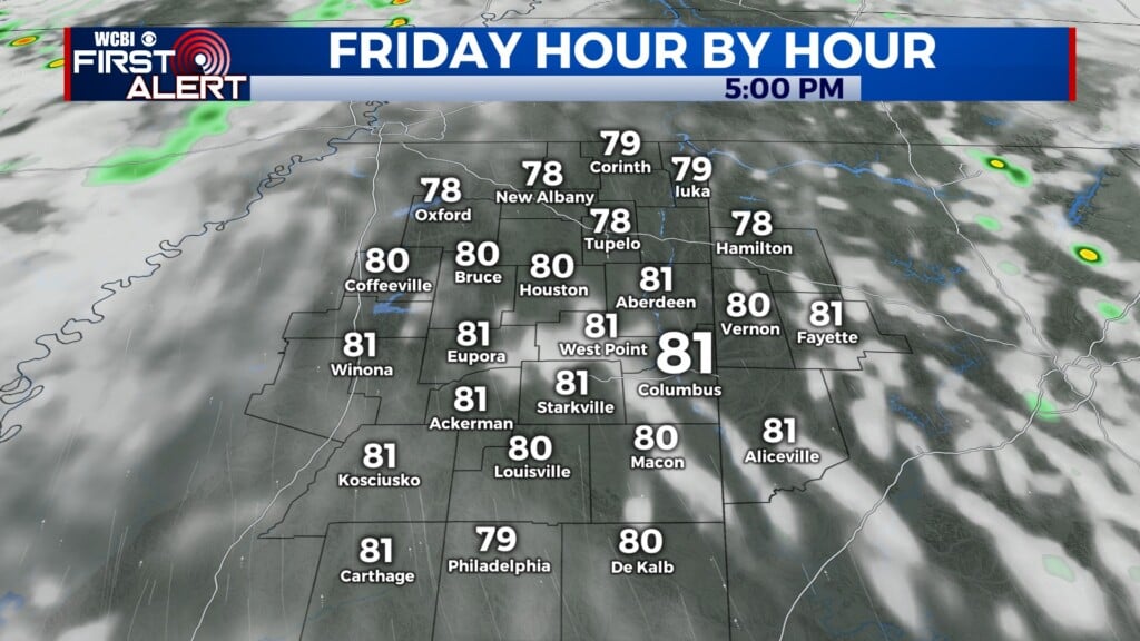
FRIDAY: Warm and muggy this afternoon. Mostly cloudy, with highs in the mid to upper 80s, with a heat index near 90. A few isolated showers and storms possible in the afternoon. Overnight, we remain mostly cloudy, with lows in the upper 60s.
SATURDAY: Even warmer on Saturday, with highs reaching the low 90s in the afternoon. A stray shower or storm cannot be ruled out, but most stay dry. Overnight, warm and muggy, with lows around 70.
SUNDAY: Widespread heavy rain is likely on Sunday, with some strong/severe storms possible through the day. Highs winds and hail look to be the main severe threats, but an isolated tornado or two cannot be ruled out. However, a significant flood risk exists with this setup. The thunderstorms will continue into the evening hours. Highs will reach the low 80s in the afternoon, and overnight lows will drop to the mid 50s.
NEXT WEEK: Monday looks to kick off on a nice and cool note with highs in the 70s. We warm into the low 80s by Tuesday, and then bring our next rain chances in Wednesday and Thursday.


Leave a Reply