First cold front of the week pushes through on Tuesday
SUMMARY: Showers & storms storms will be possible on Tuesday as our first cold front of the week will push through the area. This will set the stage for cooler temperatures the rest of the week. Another round of storms are likely on Friday as a second cold front is set to push through. The weekend is looking fairly nice but cooler with below average temperatures.
TUESDAY: As a cold front moves through the area, we’ll have the chance to see scattered showers or storms on Tuesday. Otherwise, we’ll see mostly cloudy skies through the day. Temperatures will start out in the 60s with highs in the mid 80s. A few storms could produce gusty winds or some small hail, but severe weather remains unlikely.
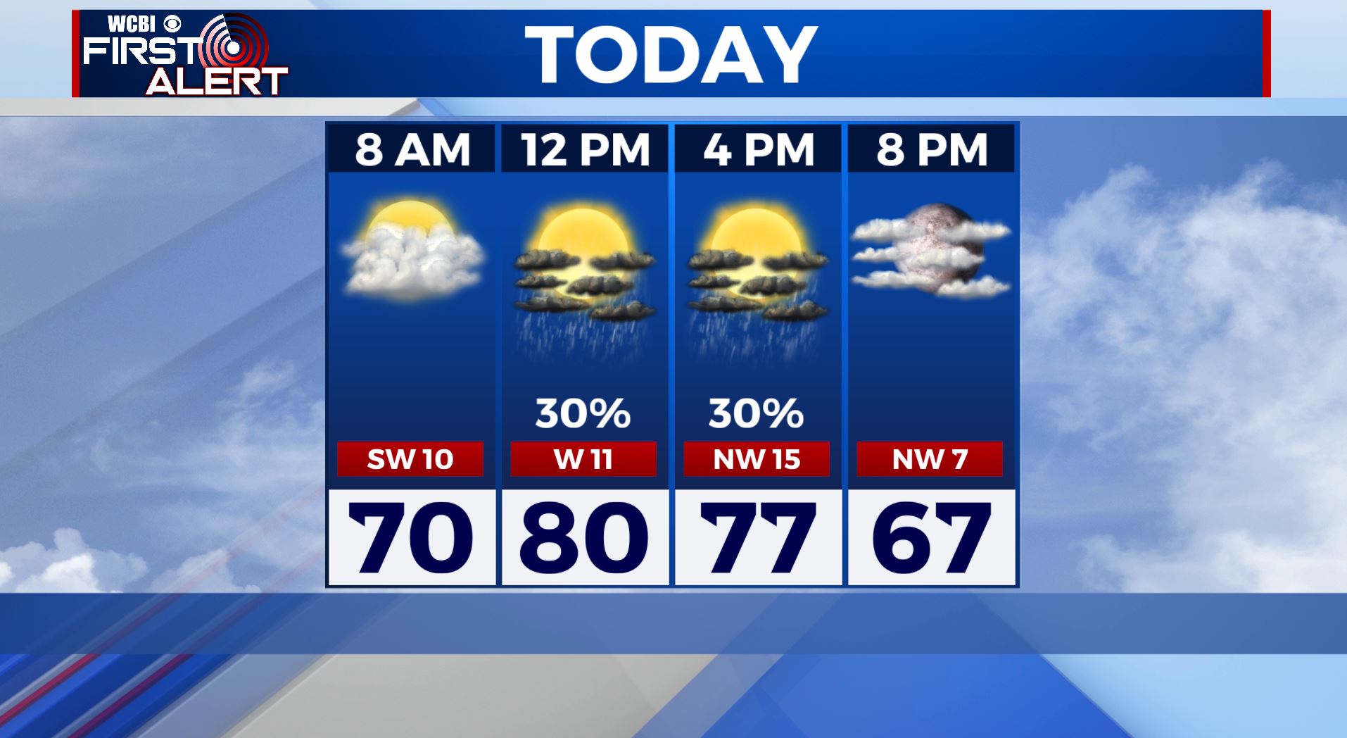
TUESDAY NIGHT: Partly cloudy and cooler. Lows around 50.
WEDNESDAY-THURSDAY: Mostly sunny skies & dry conditions will return to the area midweek. Temperatures behind the cold front cooling back down to near normal. Highs will be in the mid 70s with overnight lows in the 40s and 50s.
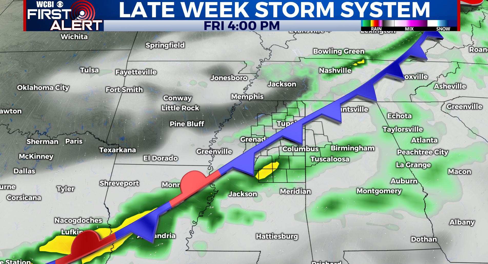
FRIDAY: Another round of showers and storms will move through the area on Friday with highs near 70.
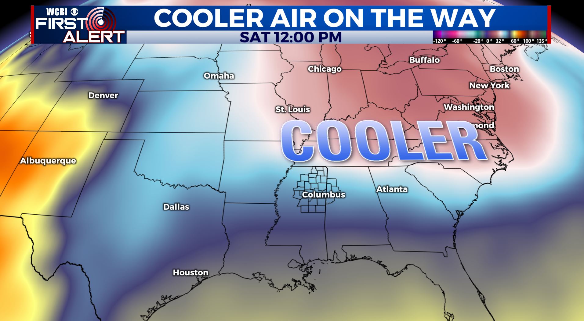
SATURDAY: Sunny & cool. Highs only in the upper 60s.
SUNDAY: Sunny skies for Mother’s Day. Pleasant temperatures with highs in the low 70s.
Stay connected with @WCBIWEATHER on Facebook, Twitter, Instagram, and the WCBI News App


Leave a Reply