Summer weather starts making its return Thursday
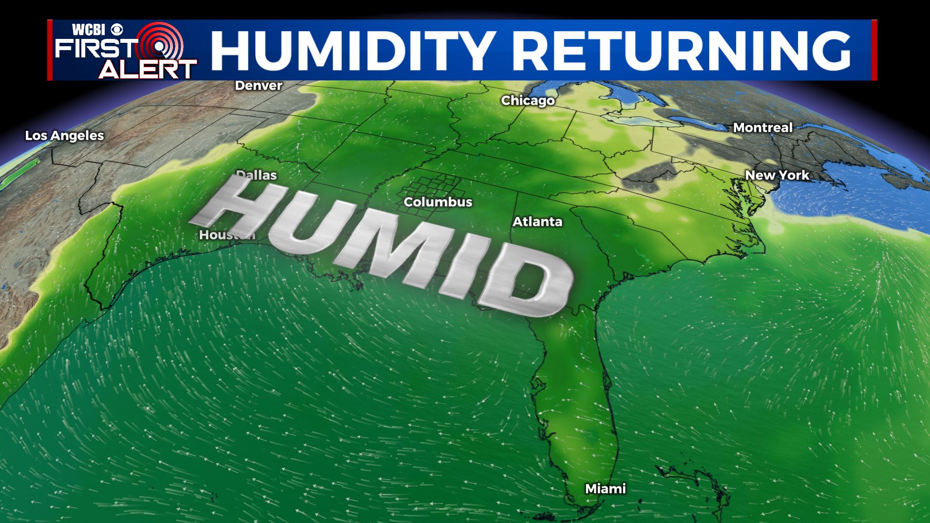
SUMMARY: Summer is making a comeback as the warm & humid air from the Gulf of Mexico moved back in. The return of the summer heat will also help bring scattered rain & pop-up storm chances for the long Memorial Day holiday weekend into early next week.
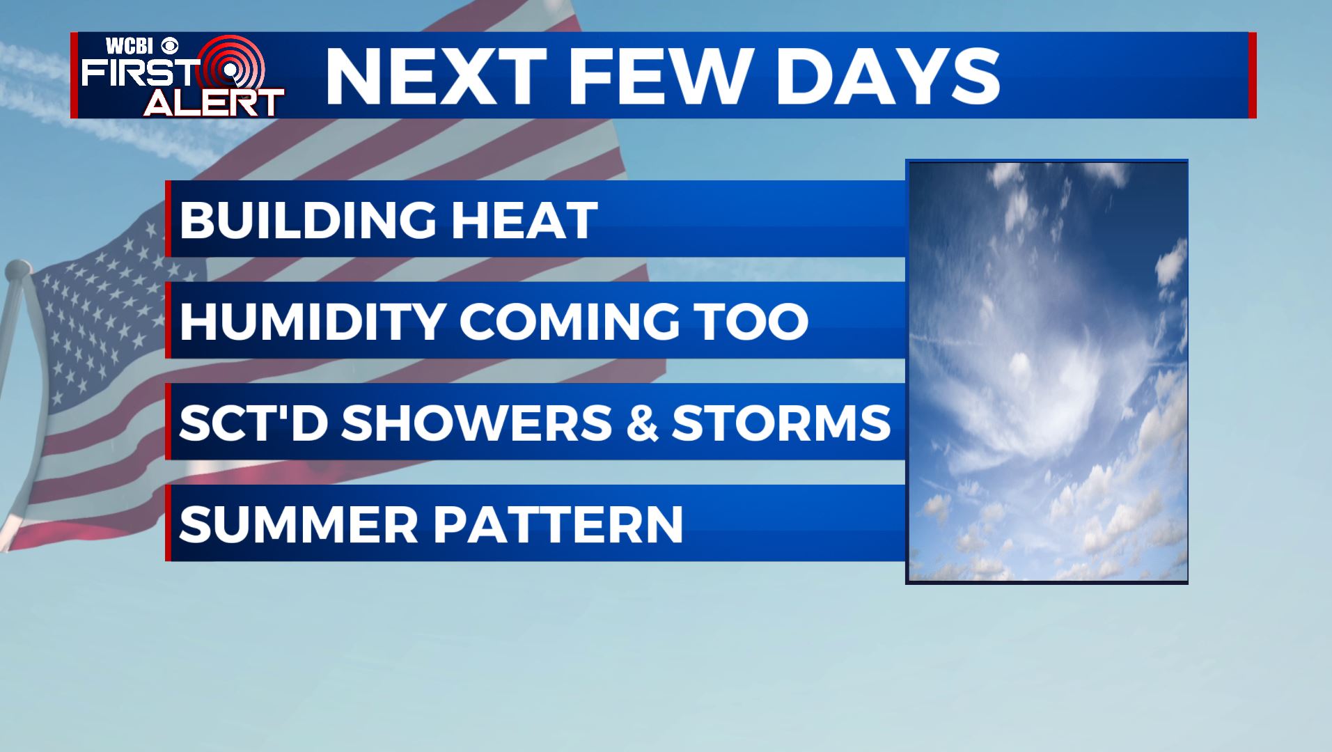
THURSDAY: A mix of sun & clouds. Still expecting a very slight chance of an afternoon shower, but looks to be the driest day of the week. A warm front will be lifting our north beginning today, which will help to start usher in SW winds at 5-10 mph and warm up our temperatures to the lower 80s.
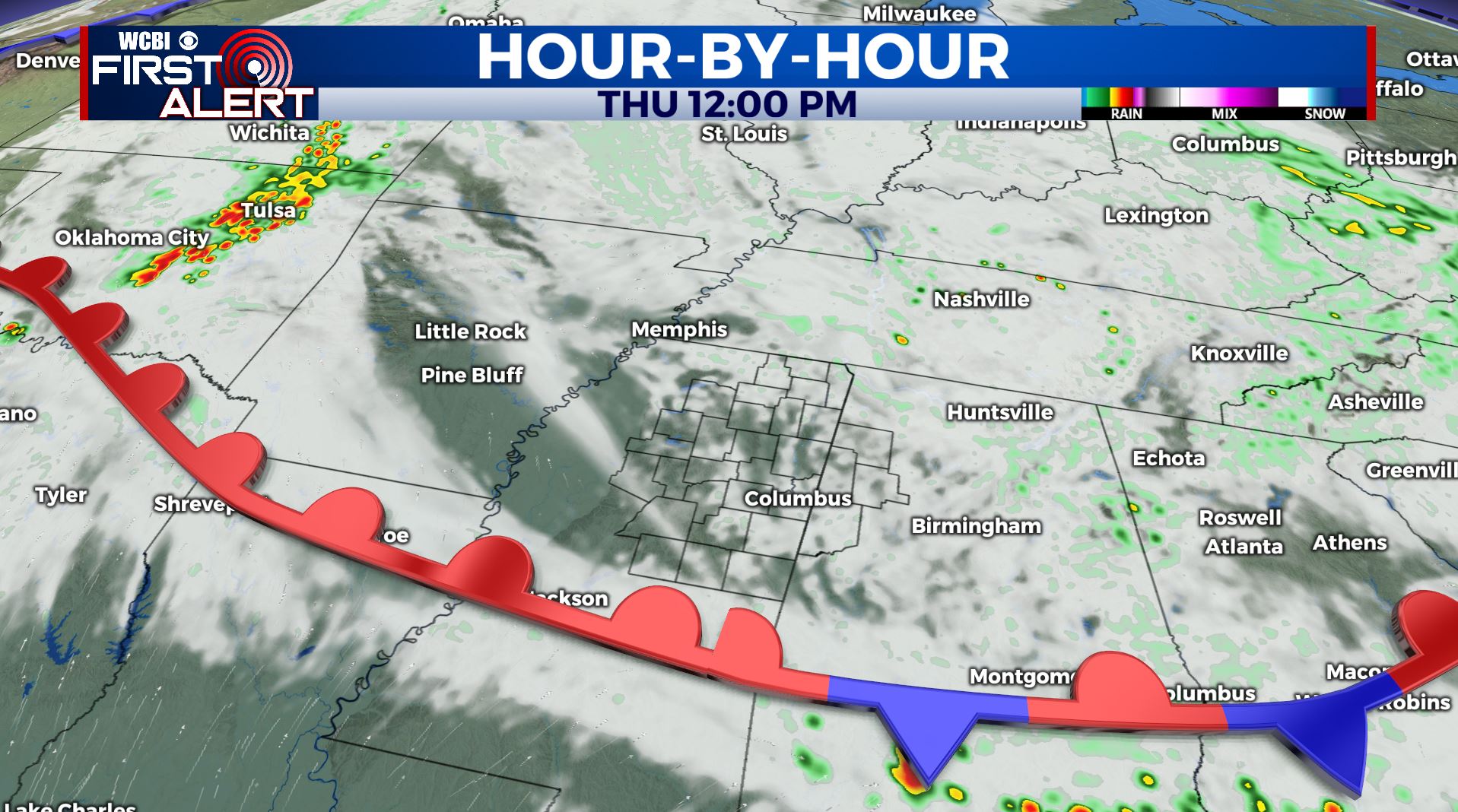
THURSDAY NIGHT: Partly cloudy with a chance of a shower or storm by morning. Milder lows in the mid 60s.
FRIDAY: Partly sunny with chances of a pop-up shower or storm. Highs getting back up to above average in the mid to upper 80s.
MEMORIAL DAY WEEKEND: Partly sunny to mostly cloudy skies and feeling like summer. A daily chance of scattered rain and storms, but not looking to be a complete washout. Highs in the upper 80s to near 90 degrees. No widespread severe weather is expected but any storm this time of year may produce gusty breezes, frequent lightning, small hail, and heavy downpours.
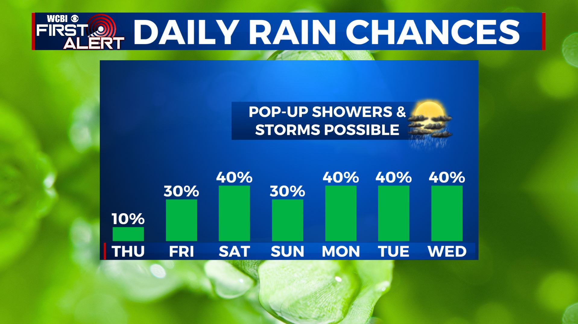
TUESDAY-WEDNESDAY: Still warm & above average with highs in the mid 80s. A mix of sun and clouds with chances for a few afternoon scattered showers & storms.
Stay connected with @WCBIWEATHER on Facebook, Twitter, Instagram, and the WCBI News App


Leave a Reply