A decent Friday & Saturday ahead; Storm chances return Sunday
SUMMARY: Staying seasonably warm as we head into the weekend. We’ll have drier conditions for your Friday and Saturday, but another disturbance will bring the return of unsettled weather for Sunday, Monday, and Tuesday. Rain and storm chances will continue Wednesday and Thursday. Keep the umbrella on standby!
FRIDAY: Much lower rain chances for Friday, most of us should stay dry throughout the day. Expect a mix of sun & clouds. Weather is looking good for the start of the baseball regional in Starkville. Highs in the mid to upper 80s.
FRIDAY NIGHT: Another calm and seasonable night in store, with partly cloudy skies. Overnight lows will be in the mid 60s.
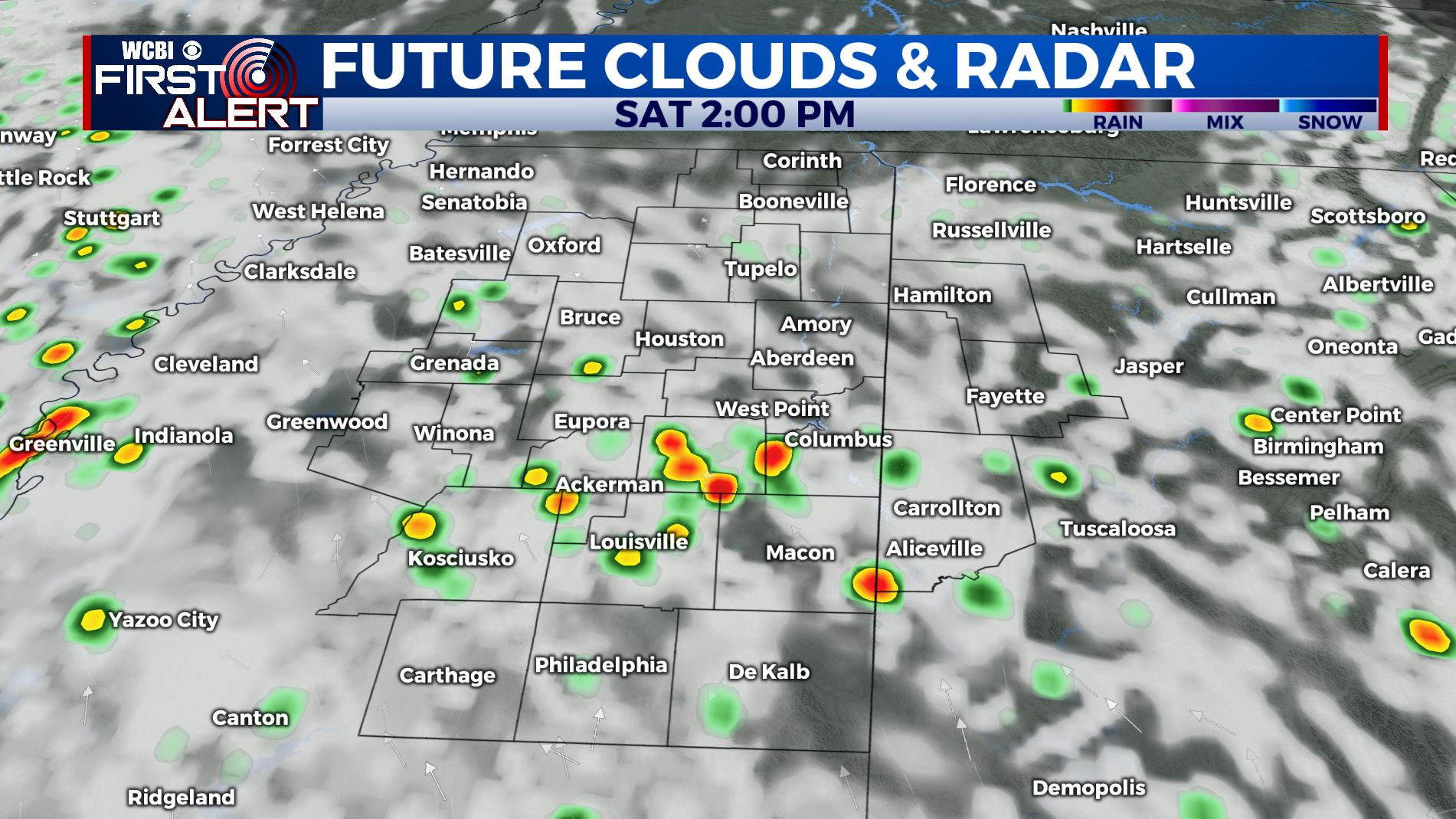
SATURDAY: Another day with a mix of sun & clouds. There will be a chance of an isolated afternoon shower or storm, especially in our southern counties. Highs will top out in the upper 80s to near 90 degrees.
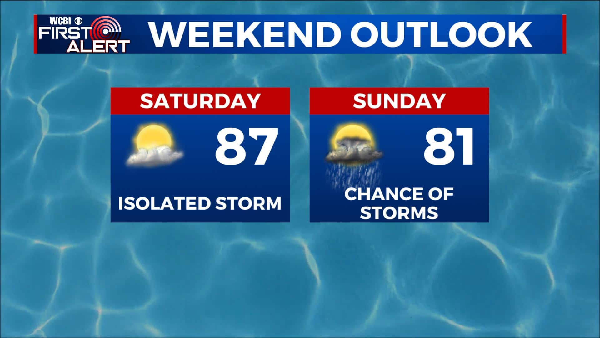
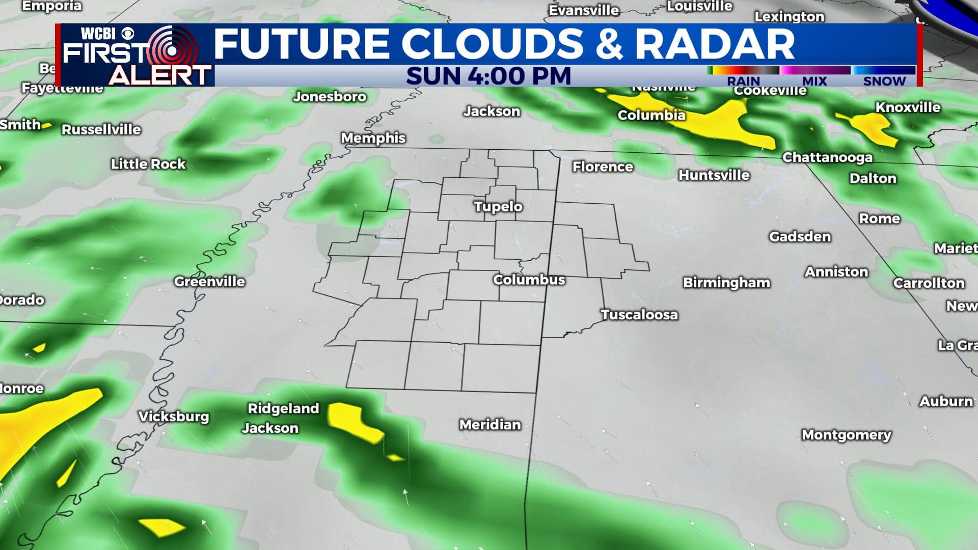
SUNDAY: Rain chances quickly ramp back up for Sunday, with widespread afternoon showers and thunderstorms. Highs in the mid 80s.
MONDAY-TUESDAY: Rain chances will continue to increase Monday into Tuesday. Highs cooling down into the lower 80s.
MIDWEEK: Our unsettled weather pattern continues throughout the rest of the workweek, with daily chances of scattered afternoon thunderstorms. Rain chances could decrease a bit by late week. Highs staying seasonable in the mid 80s with overnight lows in the mid to upper 60s.
Stay connected with @WCBIWEATHER on Facebook, Twitter, Instagram, and the WCBI News App.


Leave a Reply