Another hot & humid summer day for your Thursday
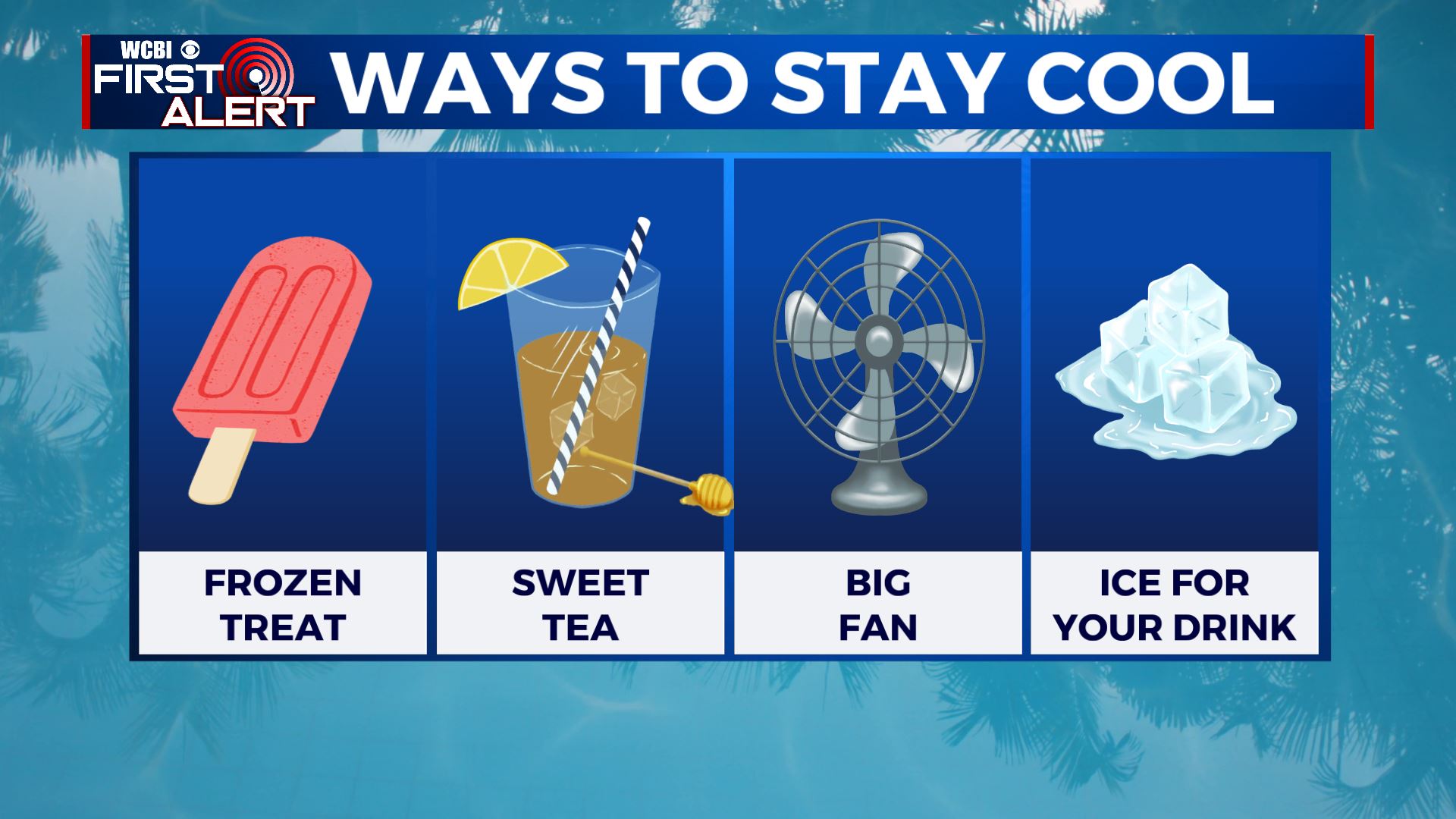
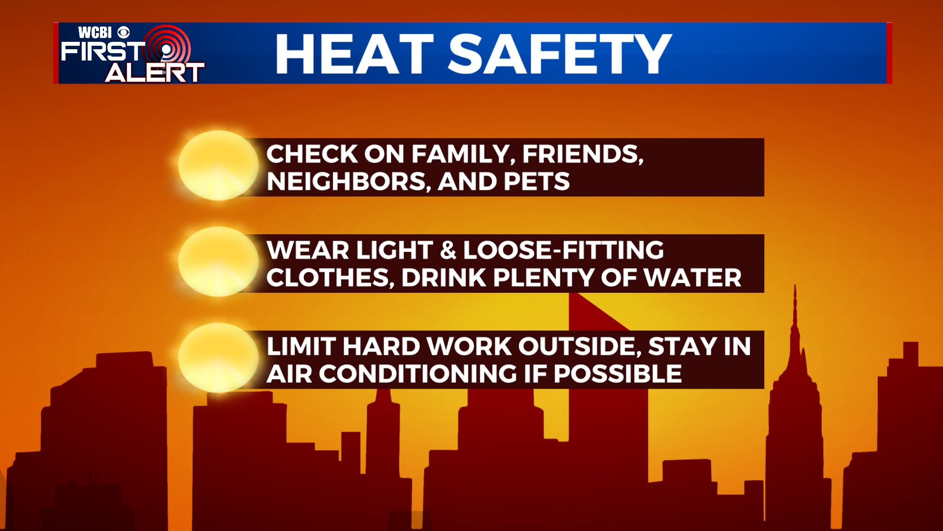
SUMMARY: An Excessive Heat Warning and a Heat Advisory is in effect for our Thursday as the dangerous heat and humidity will stick around into the coming weekend. Take the proper precautions to stay cool & hydrated to help prevent heat stress or heat exhaustion issues! Look for rain and storm chances to return Saturday with higher odds developing Sunday into Monday. 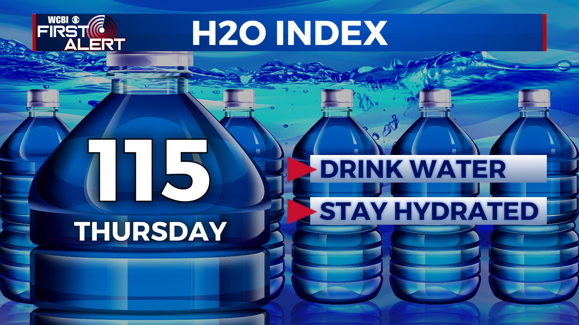
 THURSDAY: Mostly sunny skies. Hot and humid once again with highs in the lower to mid 90s. Heat indices up to 110-115. Stay cool!
 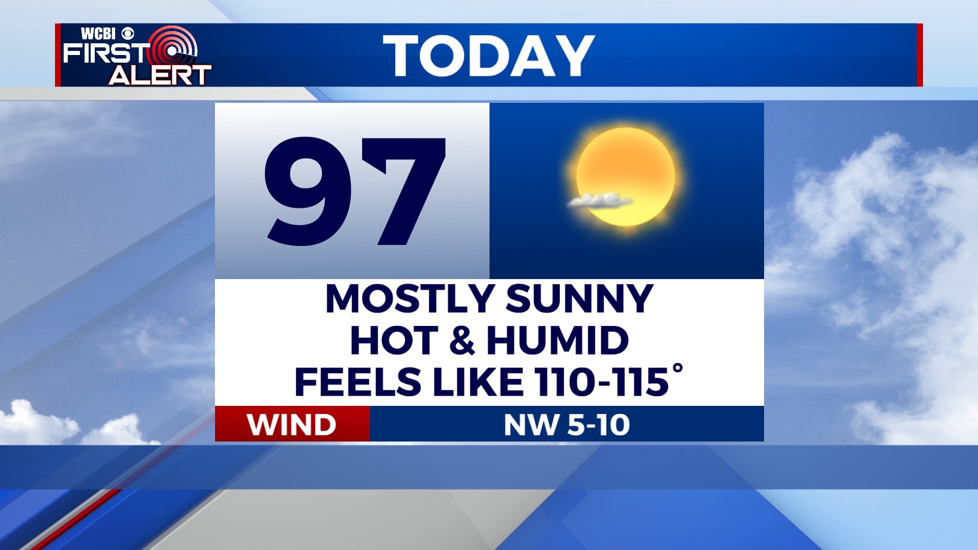 THURSDAY NIGHT: Clear, quiet, and muggy. Lows in the mid to low 70s. Calm wind. FRIDAY: Mostly sunny, hot, and humid. Highs in the mid to upper 90s with heat indices up to 110. Overnight lows in the mid 70s. WEEKEND: A few storms are possible Saturday with chances going up Sunday. Highs well in the 90s with heat indices staying in the 100s. NEXT WEEK: Rain and storms are likely Monday before drier air returns Tuesday into Wednesday. Cooler highs in the mid to upper 80s settle back in for a few days. Stay connected with @WCBIWEATHER on Facebook, Twitter, Instagram and the WCBI News App


Leave a Reply