Another warm day ahead for Tuesday; Rain returns late week
SUMMARY: Warmer temperatures in the 80s and quiet, dry weather should continue through midweek. A cold front will give our area some rain and storms from Thursday afternoon into Friday morning. The severe weather threat appear low at this time.
TUESDAY: A mix of sun & clouds. High temperatures continuing to warm up into the lower to mid 80s. A bit breezy with southerly winds 10-15 mph, with gusts to 20 mph.
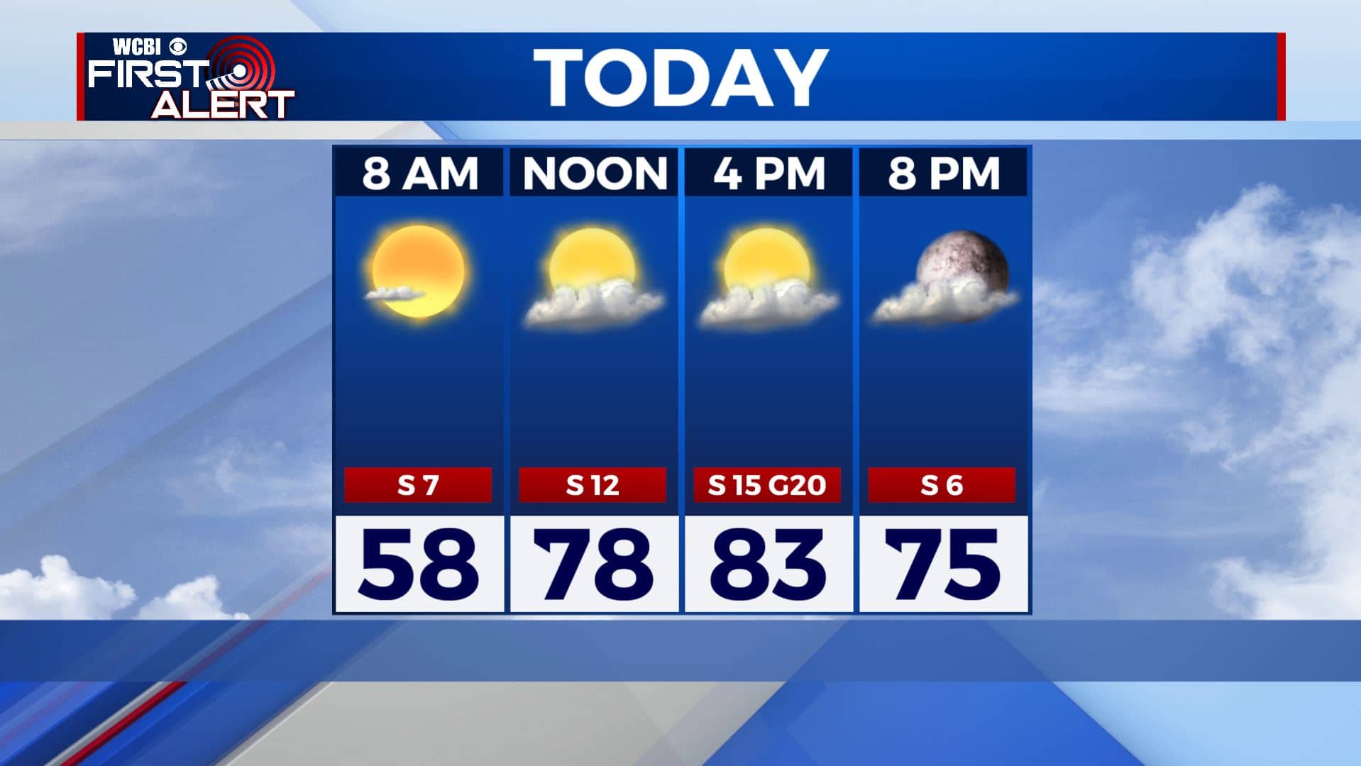
TUESDAY NIGHT: Clouds will continue to increase. Lows in the low 60s.
WEDNESDAY: More clouds than sun. Warm highs in the lower to mid 80s. Winds S 10-15 mph with higher gusts.
THURSDAY: Mostly cloudy skies. We could see a round of showers or storms sometime on Thursday or Thursday night. Highs will be in the upper 70s with overnight lows in the 60s.
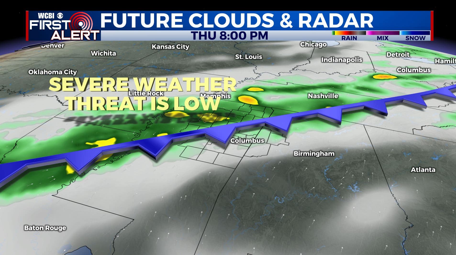
FRIDAY: Morning rain then turning partly sunny. Highs slightly cooler in the lower 70s.
WEEKEND: A mix of sun and clouds both Saturday and Sunday with maybe a stray shower or sprinkle possible, but we’ll stay mostly dry. Overnight lows in the 50s and highs in the mid 70s to near 80 degrees.
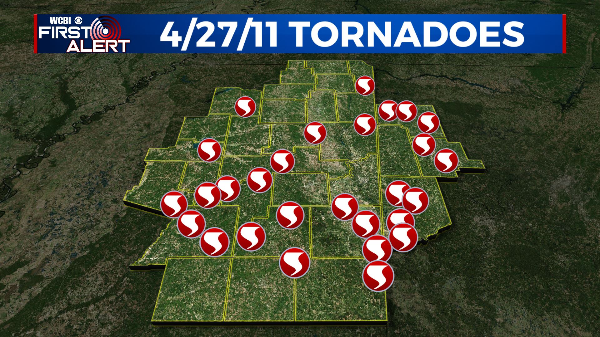
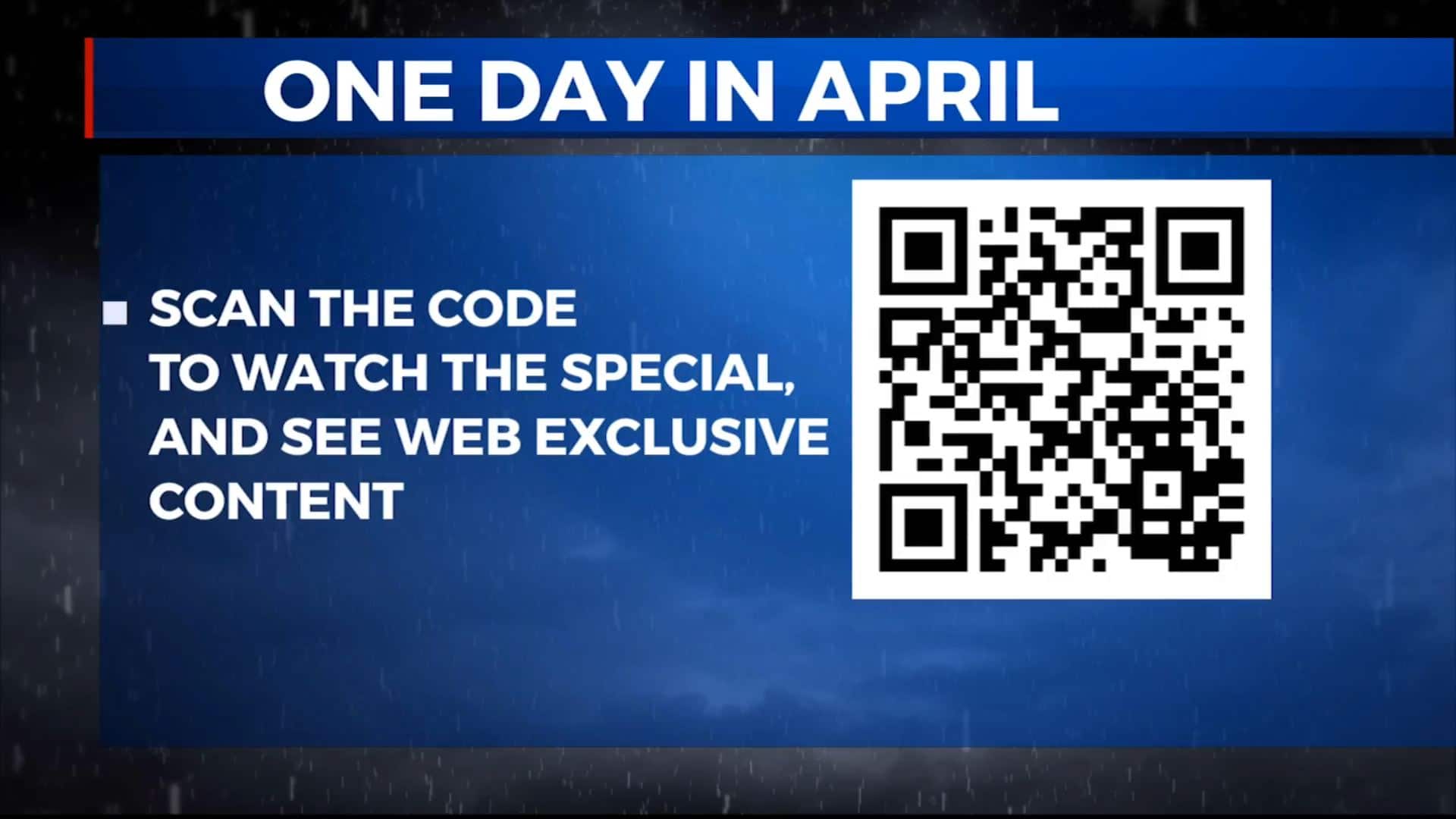
On this day 10 years ago, the Deep South experienced one of the largest, deadliest and most destructive tornado outbreaks in history on April 27, 2011. We look back at that day as part of our One Day In April Special. Tune in tonight at 6:30pm.
Stay connected with @WCBIWEATHER on Facebook, Twitter, Instagram, and the WCBI News App.


Leave a Reply