Colder air returns Sunday
SUMMARY: Our unseasonably warm and wet weather pattern will take a pause starting Sunday. In the interim, we’re going to be watching the next cold front on Saturday. No severe weather is expected but there will be some showers and perhaps even a storm or two.
THURSDAY NIGHT: Mostly cloudy and cool. Lows in the low 40s. Winds NE 5-15 mph.
FRIDAY: Mostly cloudy with just an isolated shower or two possible. Highs in the mid to upper 50s. Winds veer from the NE to the SE between 5 and 15 mph.
FRIDAY NIGHT: Mostly cloudy. Showers possible late. Lows in the upper 40s to around 50.
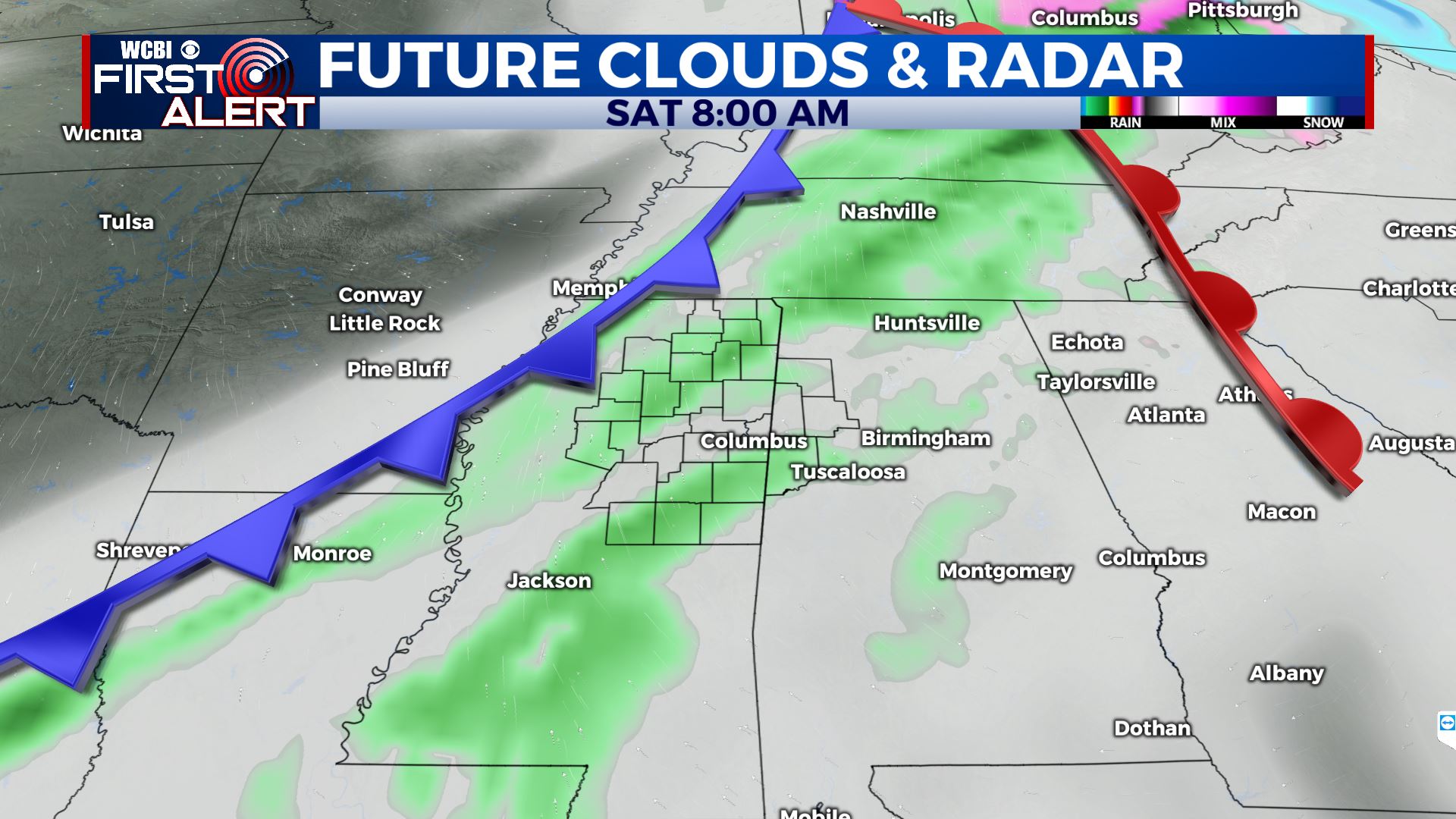
SATURDAY: Areas of showers and perhaps a few storms. The chance of rain is 70% with another 1/2″ to up to 1″ possible. Highs top out in the 60s. Gusty winds between 10 and 25 mph are expected.
SATURDAY NIGHT: Clearing skies and much colder lows in the mid to low 30s.
SUNDAY: Mostly sunny and much cooler. Highs in the upper 40s.
SUNDAY NIGHT: Clear and cold. Lows in the mid 20s.
MONDAY: Sunny and chilly. Highs near 40.
MONDAY NIGHT: Clear and cold. Lows in the upper teens to around 20.
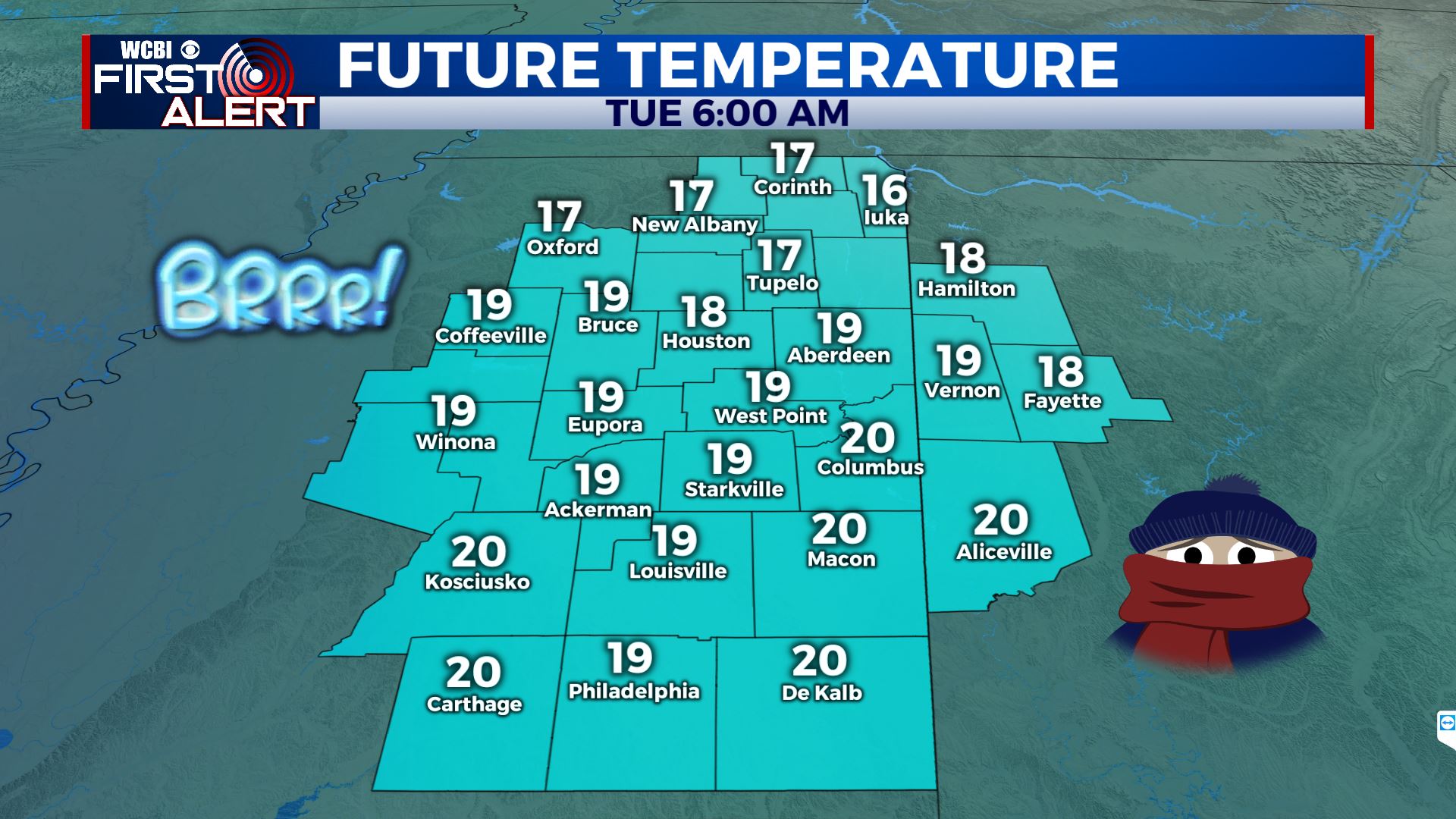
TUESDAY: Sunny and cool. Highs in the low 40s.
Follow @WCBIWEATHER on Facebook, Twitter, Instagram, and the WCBI News app


Leave a Reply