A little break Fri & Sat before more unsettled weather
SUMMARY: Rain will taper off tonight allowing for drier air to settle back in for Friday and Saturday. Storm chances return starting Sunday and they’ll continue through at least the middle of next week. Several rounds of heavy rain and strong storms are possible over the coming week.
THURSDAY NIGHT: Mostly cloudy with rain and storms possible, especially during the evening hours. Lows in the low 60s. Winds SW/N 5-10 mph.
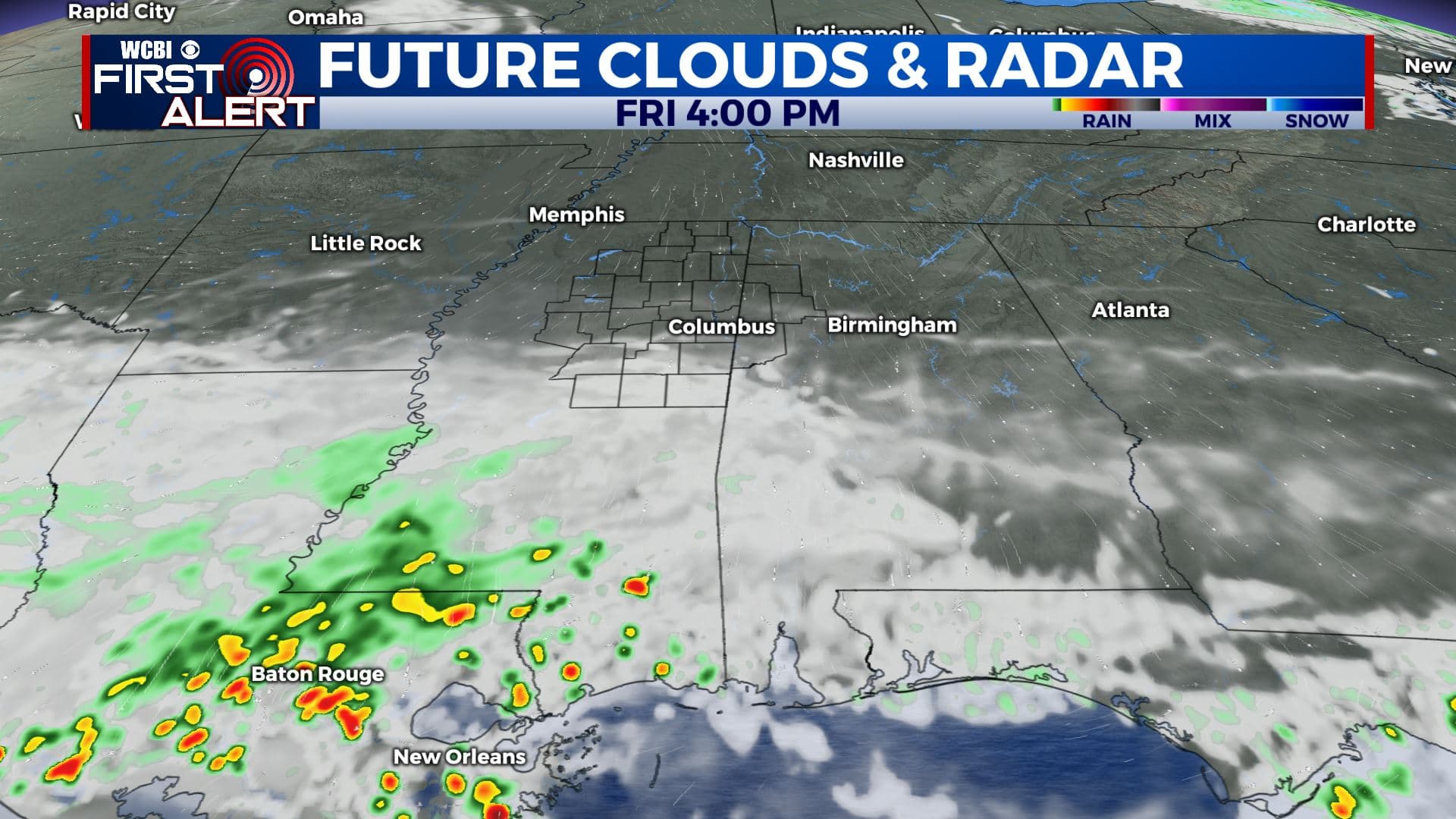
FRIDAY: Sun & clouds with lower humidity levels. Highs in the mid 70s. Winds N 5-15 mph.
FRIDAY NIGHT: Mostly clear. Lows around 50.
SATURDAY: Mostly sunny and pleasant. Low humidity continues. Highs near 80.
SATURDAY NIGHT: Partly cloudy. Milder lows near 60.
SUNDAY: Increasing clouds with afternoon and evening storms possible. Some could be on the strong side so it bears watching. Highs in the low 80s with much higher humidity.
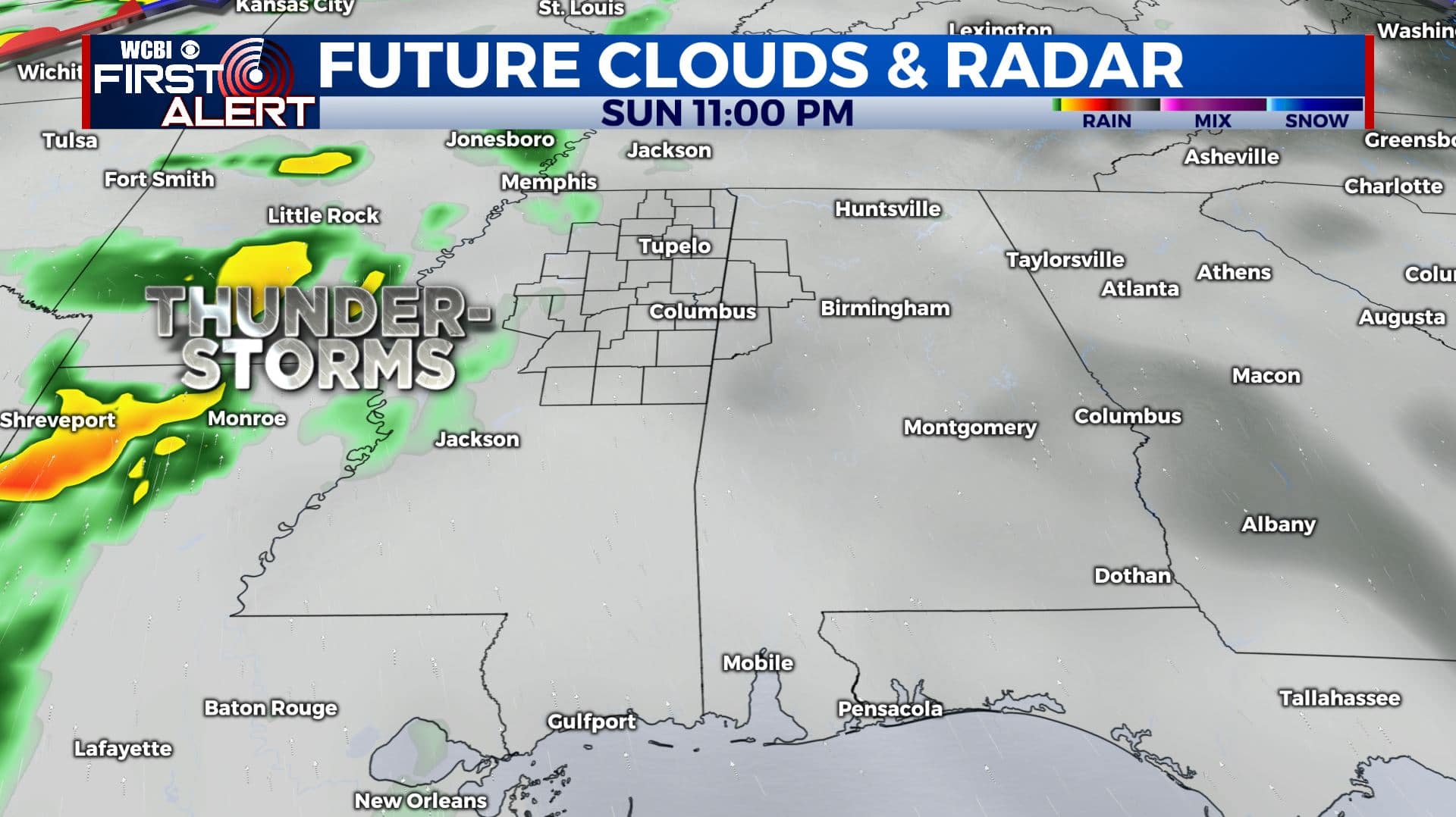
MONDAY: Mostly cloudy with some showers possible. Highs in the low 80s.
TUESDAY: Rain and storms. Highs in the 80s. Some storms could be on the strong side.
WEDNESDAY: Mostly cloudy. A few showers could linger. Highs in the upper 70s to around 80.
THURSDAY: Partly cloudy with a chance of a few storms. Highs in the upper 70s to around 80.
Follow @WCBIWEATHER on Facebook, Twitter, Instagram, and the WCBI News App


Leave a Reply