Morning fog but a quiet Thursday; Rain returns on Friday
SUMMARY: We’re waking up to some fog in the region this Thursday morning. We’ll get a break from the rain on Thursday but a few more light showers are possible on Friday. The weekend continues to look great for us with more sunshine, especially on Sunday when temperatures may warm back up into the mid to upper 60s. More rain though, even some thunderstorms are in the forecast for the first half of next week.
THURSDAY: A mix of sun & clouds after some morning fog. Could be dense in some areas so allow for some extra travel time. Highs in the upper 50s. NE wind 5-10 mph.
THURSDAY NIGHT: Variably cloudy. Lows in the low 40s.
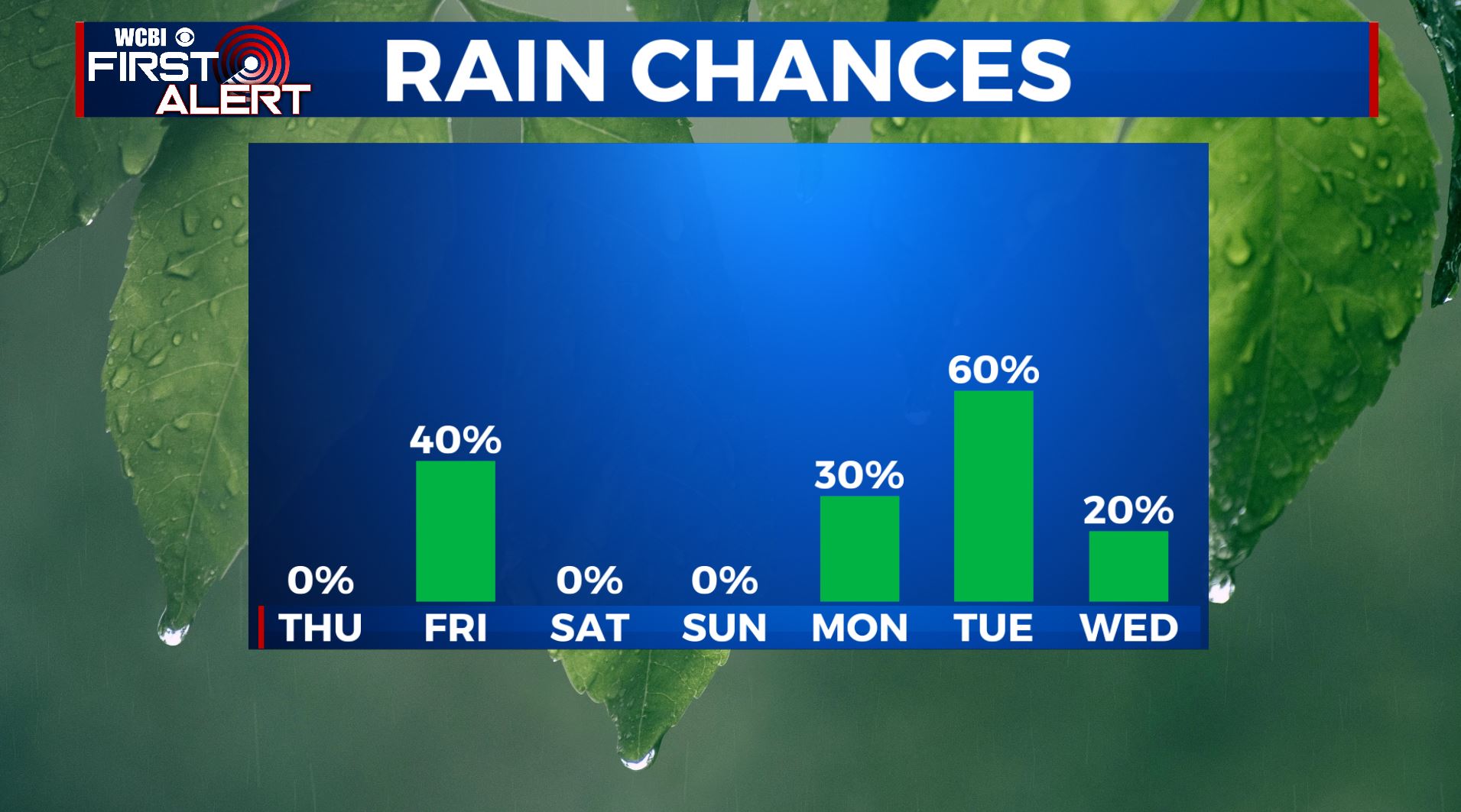
FRIDAY: Mostly cloudy with another chance of scattered showers. Highs in the lower to mid 50s.
FRIDAY NIGHT: Mostly cloudy. Lows in the low 40s.
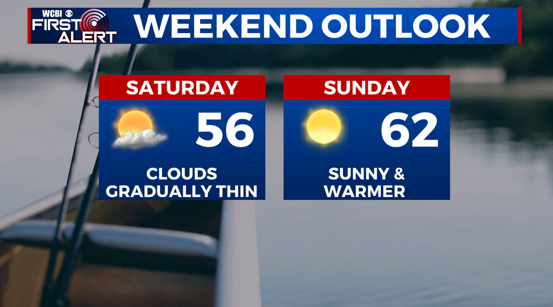
SATURDAY: Becoming sunny. Highs in the middle to upper 50s. Upper 30s to around 40 Saturday night under mainly clear skies.
SATURDAY NIGHT: Mainly clear and quiet. Lows is in the 30s.
SUNDAY: Sunny skies and mild. High temperatures warming up into the 60s.
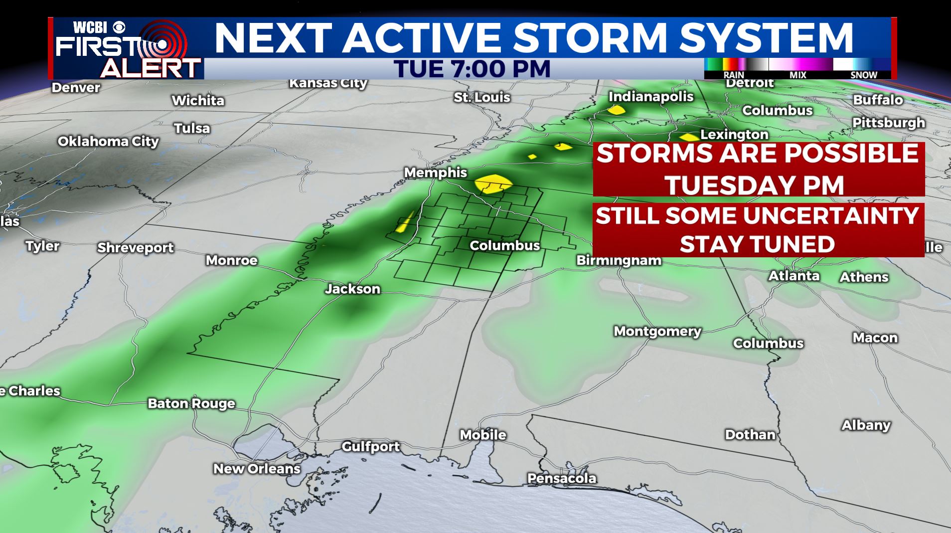
MONDAY-TUESDAY: Rain & storms are likely to return. Some storms could be on the stronger side. We’ll keep an eye on it. We’ll remain mild with lower 60s Monday and perhaps a shot at the upper 60s to near 70 by Tuesday.
MID NEXT WEEK: A cool down may be on the way for the region.
Stay connected with @WCBIWEATHER on Facebook, Twitter, Instagram and the WCBI News App


Leave a Reply