Rain & storm chances return for the rest of the workweek
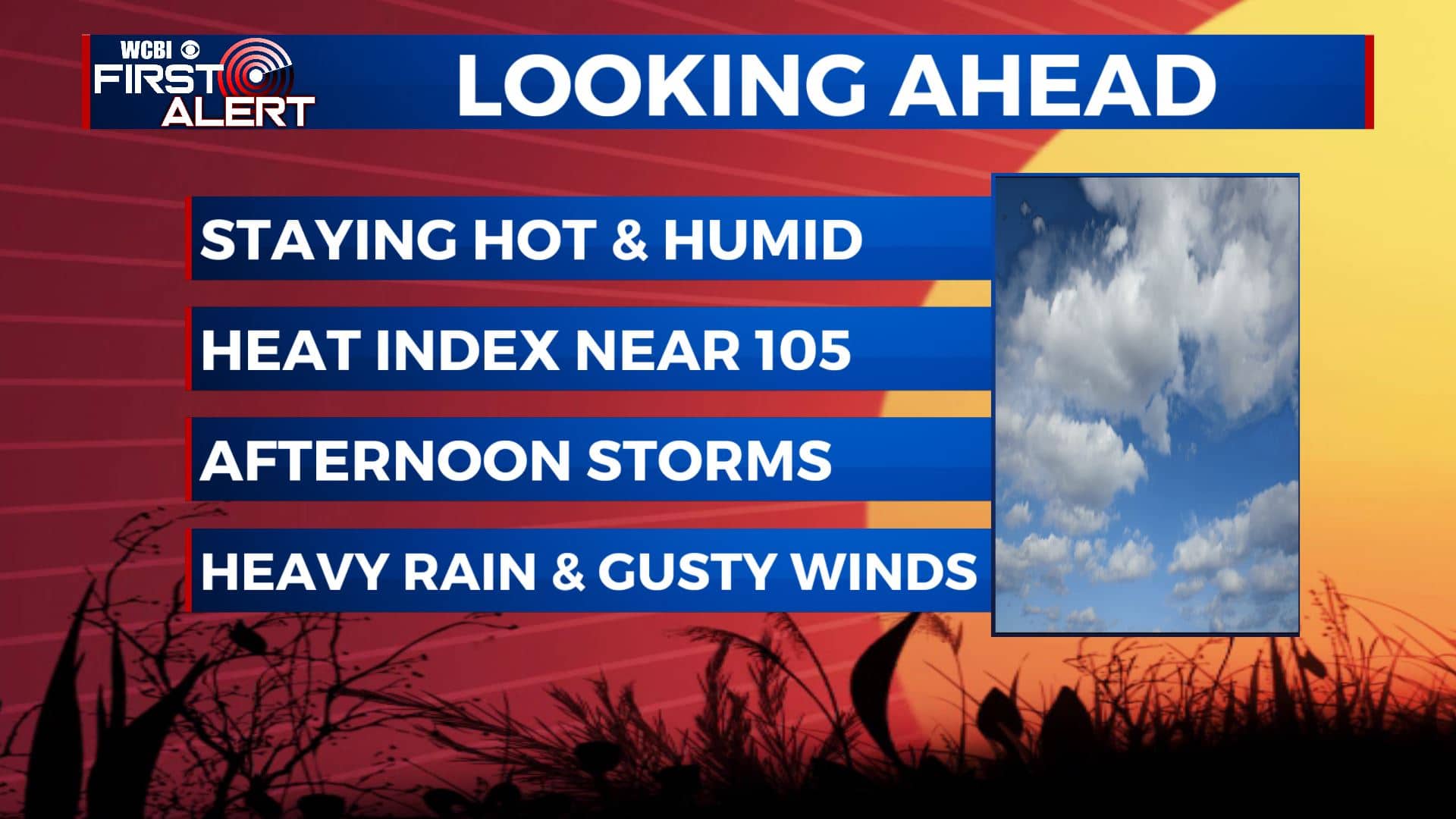
SUMMARY: There’s not much relief from the heat and humidity as temperatures will stay in the mid to upper 90s with heat index values occasionally between 100-105. We will increase rain chances through the middle to later part of the workweek. Amounts will generally be less than an inch.
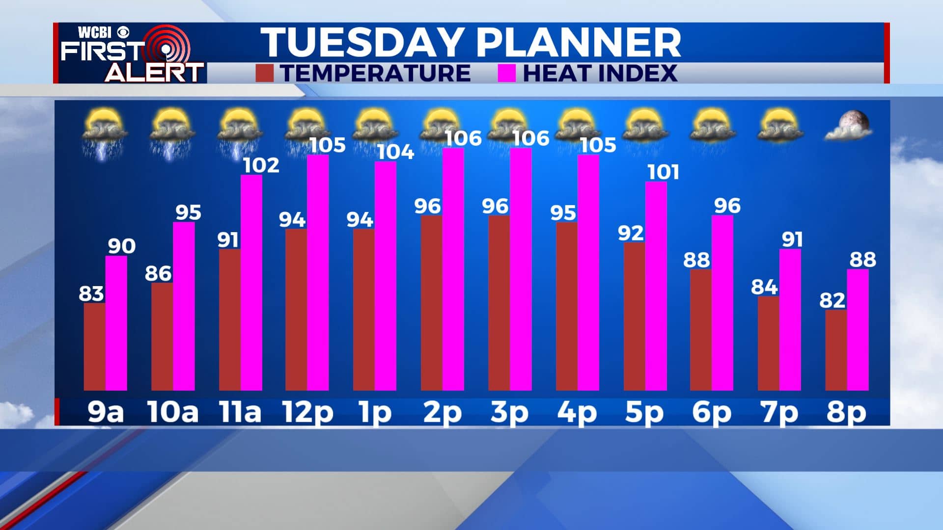
TUESDAY: Rain chances will increase to more scattered chances for Tuesday as we’re expecting a better chance for some afternoon and evening storms thanks to the daytime heating. If you don’t get caught in a downpour, temperatures will climb to the mid 90s once again. The heat index will remain over 100 in the afternoon.
TUESDAY NIGHT: Partly cloudy skies. Lows will be in the mid 70s with a calm wind.
WEDNESDAY-FRIDAY: Afternoon showers and storms will remain possible through the middle and end of the week. Some storms could produce locally heavy rainfall and gusty winds at times. Afternoon highs will remain in the lower to mid 90s, but any rain will help to cool you down a bit. Overnight lows will be in the mid 70s.
SATURDAY-MONDAY: Pop-up storms will remain in the forecast for the weekend and even into early next week as temperatures will also remain hot and humid. Highs will climb to the lower and mid 90s each afternoon with overnight lows in the low 70s. Heat index values nearing 100.
Stay connected with @WCBIWEATHER on Facebook, Twitter, Instagram, and the WCBI News App


Leave a Reply