Rain and Storms Continue, but Cold Weather Is On The Way
TODAY: More batches of rain and storms push through the region. Look for highs to climb into the 70s in the region with a mostly cloudy sky. Areas of fog are also expected. A stronger storm with hail and heavy downpours can’t be ruled out. Another 0.5-1″ of rain is expected. Winds are from the south and west 5-10 mph. A cold front pushes our way heading into tonight. A stronger storm with some hail can’t be ruled out.
TONIGHT: Look for lows down in the 50s in the region with a passing cold front helping to shove moisture to the south. Along it, scattered showers and storms are expected. Look for this front to bring northwest winds 5-15 mph. A stronger storm with some hail can’t be ruled out.
THURSDAY – FRIDAY: A few scattered showers are possible, but with the cold front clearing through the area, it will a reprieve from the rounds of heavy rain and storms. Highs are a bit cooler in the upper 50s to low 60s with a mostly cloudy sky.
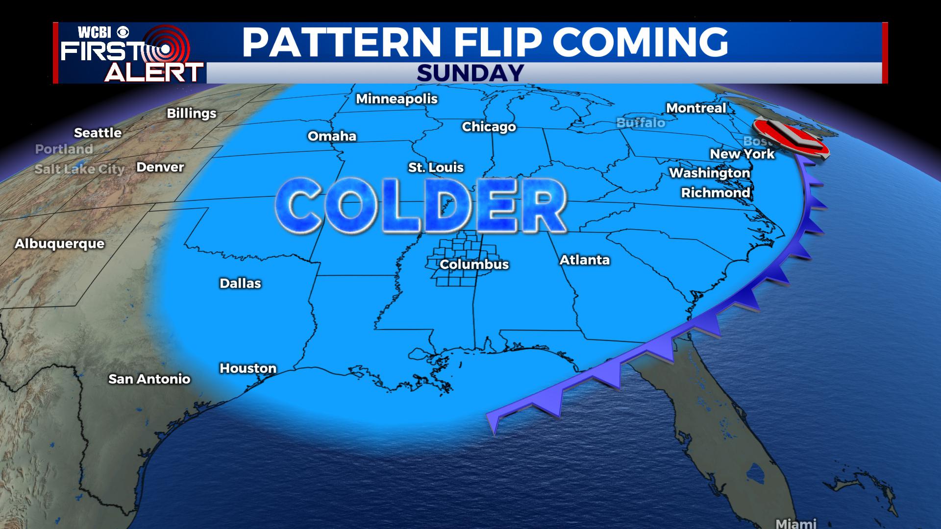
SATURDAY: More chances for showers and storms return to the area with highs in the upper 60s to near 70. Some strong storms are possible, but that is still a bit uncertain this far out. Regardless, the strong cold front will push through by Saturday Night bringing an end to the rainy and warm pattern and transitioning us into a more classic winter pattern. Lows Saturday Night fall into the low 30s with a clearing sky.
SUNDAY – TUESDAY: We’ll finally dry out for Sunday as we see a mix of sun and clouds. Temperatures will be much cooler with morning lows in the 20s and low 30s and highs only in the 30s and 40s.
EXTENDED OUTLOOK: We continue to see trends suggesting a cold streak continuing into February. While it does suggest a colder pattern, a few mild days can’t be ruled out. We’ll keep you updated.


Leave a Reply