More storms, watching Cristobal
SUMMARY: Scattered showers and storms will be around as we wrap up the work week. We’ll settle down a bit and stay plenty warm for the weekend but all eyes remain on Tropical Storm Cristobal. It COULD affect our area Monday & Tuesday with locally heavy rain and perhaps even an isolated tornado threat.
WEDNESDAY NIGHT: Partly to mostly cloudy, warm, and humid. Lows in the upper 60s to around 70. A shower or storm is possible just about anywhere all night long but most spots will likely remain quiet.
THURSDAY: Areas of rain and storms. Some could be locally strong with gusty winds, torrential downpours, and frequent lightning. Look for highs in the mid 80s due to the 60% chance of rain. Winds SW 5-10 mph.
THURSDAY NIGHT: Variably cloudy. A stray shower or storm is possible. Lows in the upper 60s to around 70.
FRIDAY: A 30-40% chance of pop-up showers and storms. Warmer highs in the upper 80s.
WEEKEND: Overall quiet but we can’t rule out a few spotty showers or storms either day. Highs in the upper 80s to lower 90s. Lows around 70.
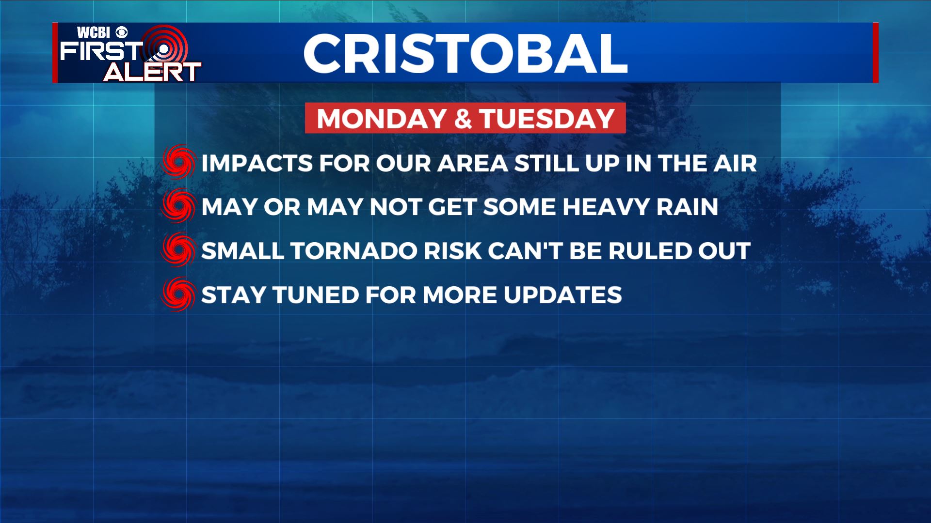
MONDAY-TUESDAY: Tropical Storm Cristobal may make landfall in Louisiana and then track to the west of our area. This would put the WCBI coverage area on its eastern side which in turn could lead to locally heavy rainfall and perhaps even an isolated tornado threat… if the track of the remnant low is close enough to us. Bottom line: there just isn’t enough information to tell what we may or may not get out of Cristobal just yet. Be sure to check back with us for updates going forward.
Follow @WCBIWEATHER on Facebook, Twitter, Instagram, and the WCBI News App


Leave a Reply