Tropical Storm Barry will Greatly Impact our Weather
SATURDAY NIGHT: Some showers/storms may remain in the region for this evening and overnight hours. Look for lows in the 70s with mostly cloudy skies. Wind will be out of the SE around 5-10 MPH. We could see rainfall amounts near a quarter to a half of an inch possible.
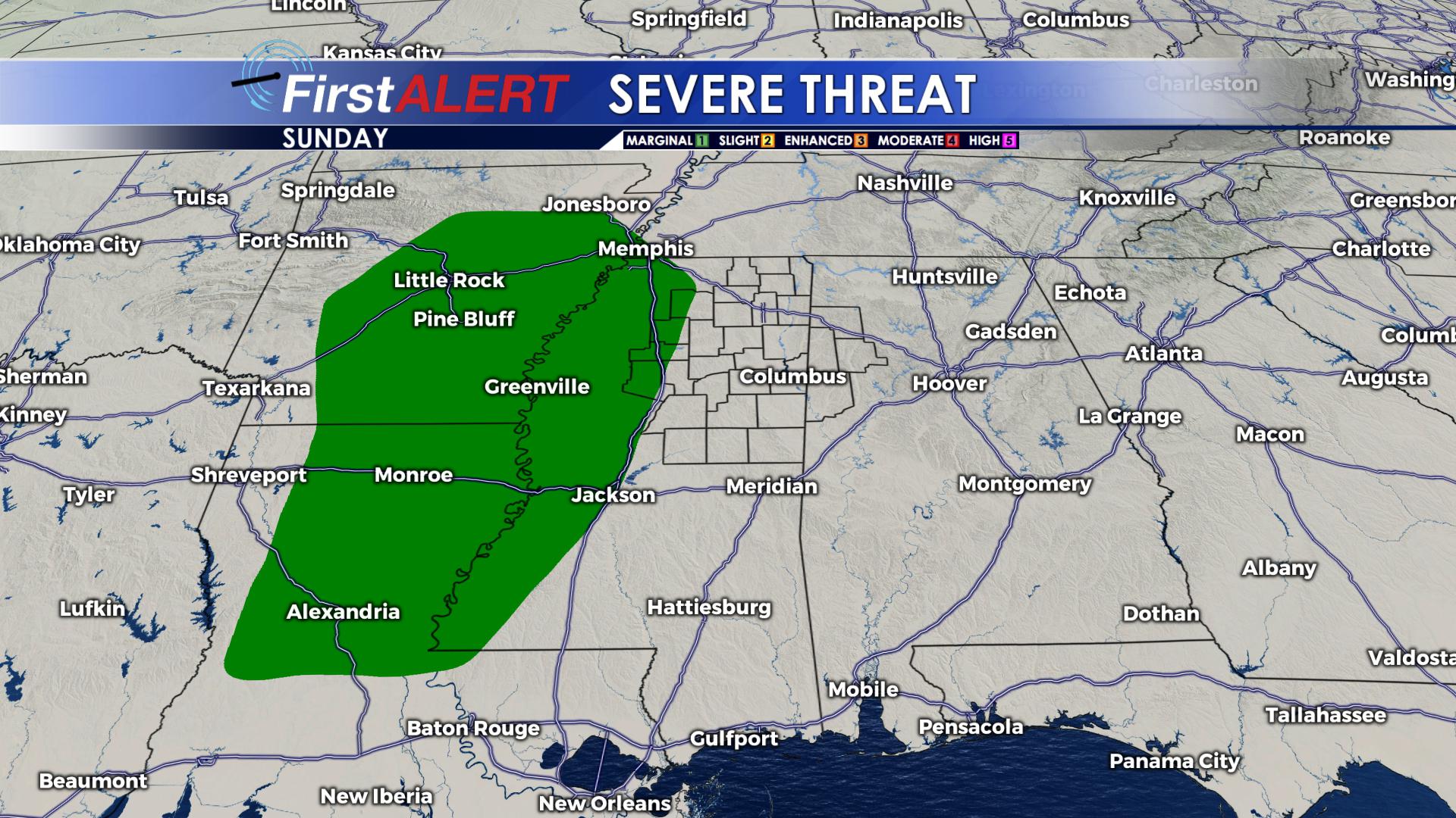
SUNDAY: The remnant circulation of Barry is expected to pass well to our west through Louisiana and Arkansas; however, a band of heavy rain may still affect our region. Showers and thunderstorms are likely throughout the day with the greatest threats being flash flooding, gusty wind, and isolated tornadoes. Some rotation may be associated with these thunderstorms so the tornado threat is low, but not completely out of the question. Wind will be out of the SE around 10-20 MPH. Highs will be in the upper 70s.
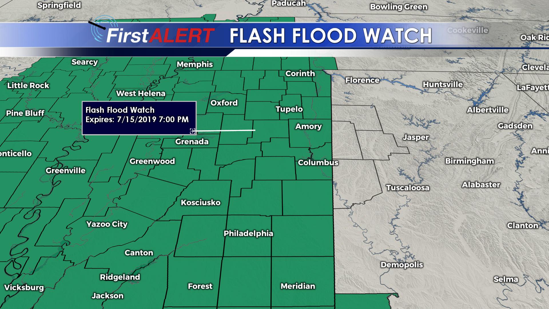
MONDAY: Showers and thunderstorms are likely with the chance of precipitation at 80%. Highs will be in the low 80s and lows will be in the mid 70s. We will see cloudy skies with wind out of the SE around 10-20 MPH. We are under a flash flood watch until Monday with rainfall amounts around a half to three quarters of an inch possible. There is still a chance to see a spin-up tornado or two even though the threat is low.
TUESDAY-FRIDAY: Barry’s remnants will pull away by Tuesday, but the chance of showers and storms will continue on a scattered basis for a few days. Gradually warming temperatures into the low and mid 90s can be expected as we see more and more sunshine. Heat index values are going to pulse back up into the 100s by the end of the week.
Follow @WCBIWEATHER on Facebook, Twitter, and Instagram


Leave a Reply