Typical summer weather returns to end the workweek
SUMMARY: We’re returning to a typical summertime weather pattern with a mix of sun & clouds and some afternoon pop-up storms. The summer heat & humidity is making a big comeback as we head into next week.Temperatures should gradually warm back into the low to mid 90s by the weekend and next week. Heat indices in the 100-105°+ appear likely once again.
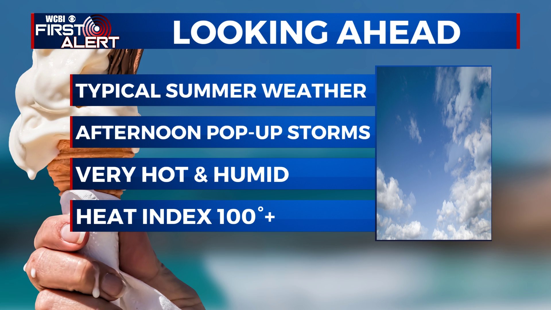
THURSDAY & FRIDAY: We’ll dry out a bit with more sunshine with a few clouds. Warm and muggy. Highs in the upper 80s to around 90°. Heat indices between 95-100°. A continuing chance of pop-up showers and storms. Lows in the low 70s.
WEEKEND: Afternoon rain & storm chances will be possible. Highs in the low 90s with heat indices creeping back into the 100s. Lows in the 70s.
MONDAY: A few isolated showers or storms remain possible. Temperatures back up to near average with highs in the lower to mid 90s.
NEXT WEEK: While stray storms are possible, the big story will be extreme heat and humidity. Highs in the low to mid 90s with heat indices in the 100-105°+ range.
Stay connected with @WCBIWEATHER on Facebook, Twitter, Instagram and the WCBI News App


Leave a Reply