Wet & stormy Wednesday, colder Halloween
SUMMARY: Rain and storms will redevelop tonight and continue through Thursday morning. Another 1-3” of rain or more may fall. There may also be a few gusty storms Wednesday night and early Thursday morning that could produce some isolated damaging wind gusts. The latest data suggest a dry, breezy, and colder evening for trick-or-treaters Thursday followed by crisp and cool fall weather going into the weekend. Several nights in a row will produce a widespread frost and/or freeze.

TUESDAY NIGHT: Mostly cloudy with showers developing during the night. Temperatures slowly warming into the mid 60s by sunrise. Winds become SE at 3-7 mph.
WEDNESDAY: Areas of rain and storms with locally heavy rain at times. Highs in the 70s. Winds SSE 5-15 mph.
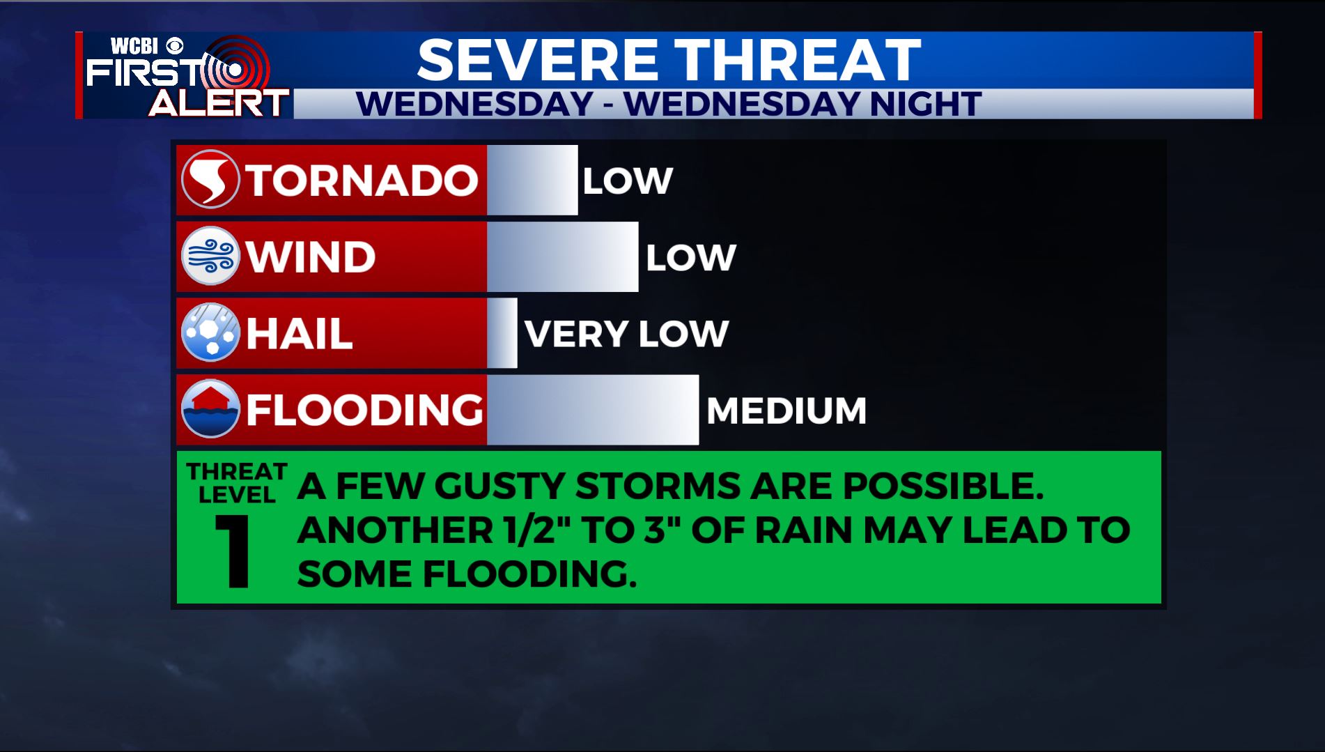
WEDNESDAY NIGHT: Rain and storms. A few storms may produce damaging wind gusts. Temperatures holding nearly steady in the upper 60s to around 70.
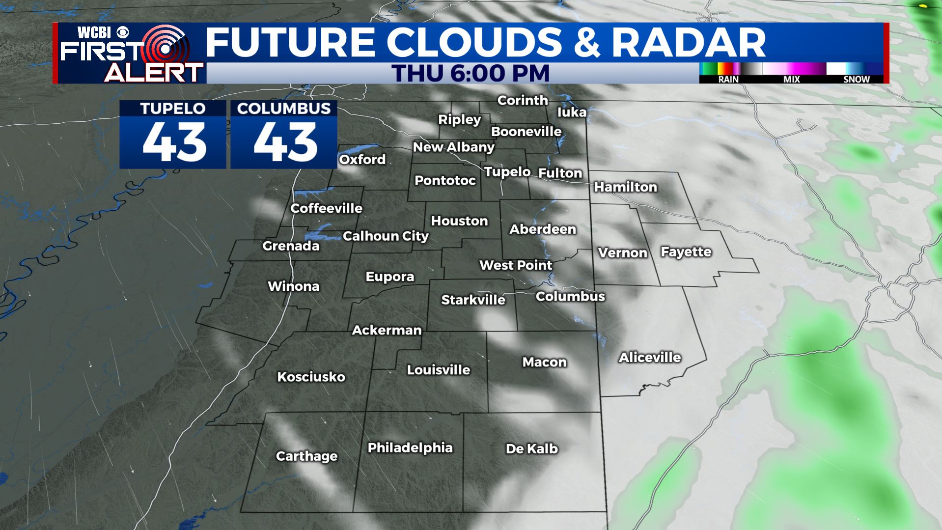
THURSDAY: Clearing from west to east in the wake of a cold front that passes during the morning hours. Northwesterly winds 10-20 with gusts over 20 mph at times. Temperatures will cool into the 50s and eventually 40s by late afternoon. They may be in the low 40s by 7 p.m. The little ghosts and goblins will definitely need to bundle up for trick-or-treating because it will be brisk.
THURSDAY NIGHT: Clear and cold. Lows may drop to around 30 if winds relax. A widespread frost and freeze is looking more and more likely. Tender plants will need to be covered.
FRIDAY-MONDAY: High pressure builds in and give the region lots of sunshine. The trade off will be cool, fall-like highs mainly in the 50s. Overnight lows will be in the low 30s and that will continue the frost and freeze threat.

Stay connected with @WCBWEATHER on Facebook, Twitter, Instagram, and on the WCBI News app.


Leave a Reply